1839 Ava earthquake
The 1839 Ava earthquake, also known as the Amarapura earthquake or Inwa earthquake was a catastrophic disaster that struck Burma at around 04:00 in the morning of March 23.[1] This earthquake was one of the biggest in the country since 1762. Shaking reached XI (Extreme) on the Mercalli intensity scale, and was felt in Rangoon and Bhamo.[2]
 1839 Ava earthquake (Myanmar) | |
| UTC time | 1839-03-23 24:30 |
|---|---|
| Local date | 23 March 1839 |
| Local time | 04:00 |
| Magnitude | M8.1-8.2 Mw |
| Depth | 12-15 km |
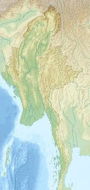
| Epicenter | 21.9°N 96.0°E |
| Fault | Sagaing Fault |
| Type | Strike-slip |
| Areas affected | Myanmar |
| Total damage | 3 cities destroyed |
| Max. intensity | XI (Extreme) |
| Casualties | 500+ dead |
Tectonic setting
The Sagaing Fault is a major transform boundary that runs through Myanmar, and is the source of the earthquake. Its epicenter is presently located just outside the city of Mandalay. It is believed that the Meiktila and Sagaing segment of the fault ruptured during this earthquake for a length of 400 km.[3] In 1946 the 180 km long Sagaing segment produced two major earthquakes while the 220 km long Meiktila segment has not experienced any major earthquakes since the`1839 quake.[3] In 1956, a magnitude 7.1 earthquake struck close to the epicenter of the 1839 quake.
Damage and effects

Great damage was reported in Inwa, so severe that the formal capital was moved to nearby Amarapura. In Mingun, a stupa sustained serious damage as a result of shaking. British officials in Myanmar recorded catastrophic damage and liquefaction in Mandalay and the surrounding area.[4][5] Many pagodas collapsed during the event. Chasms and fissures more than ten feet wide were seen in Amarapura and nearly every brick buildings were reduced to rubble. Some villages were swallowed up as a result of liquefaction.[5] Between 200 and 300 people were killed. The shock also reversed the flow of the Irrawaddy River, where the currents became violent and overflowed its banks.[4]
References
- Oldham, Thomas. "A Catalogue of Indian Earthquakes from the earliest time to the end of AD 1869". Memoirs of the Geological Survey of India. XIX.
- "Earthquake Event Information MYANMAR (BURMA): AVA, AMARAPURA". NGDC.
- Yu, Wang (2014). "Active Tectonics and Earthquake Potential of the Myanmar region". Journal of Geophysical Research: Solid Earth. 119 (4): 3767. Bibcode:2014JGRB..119.3767W. doi:10.1002/2013JB010762.
- "Some Documents of Tharrawaddy's Reign: 1837-1846, Part I". SOAS Bulletin of Burma Research. 1. 2003.
- "Burmah". The Asiatic Journal. XXX. 1839.