Zambezi Airport
| Zambezi Airport | |||||||||||
|---|---|---|---|---|---|---|---|---|---|---|---|
| Summary | |||||||||||
| Airport type | Public | ||||||||||
| Serves | Zambezi | ||||||||||
| Elevation AMSL | 3,538 ft / 1,078 m | ||||||||||
| Coordinates | 13°32′10″S 23°06′15″E / 13.53611°S 23.10417°ECoordinates: 13°32′10″S 23°06′15″E / 13.53611°S 23.10417°E | ||||||||||
| Map | |||||||||||
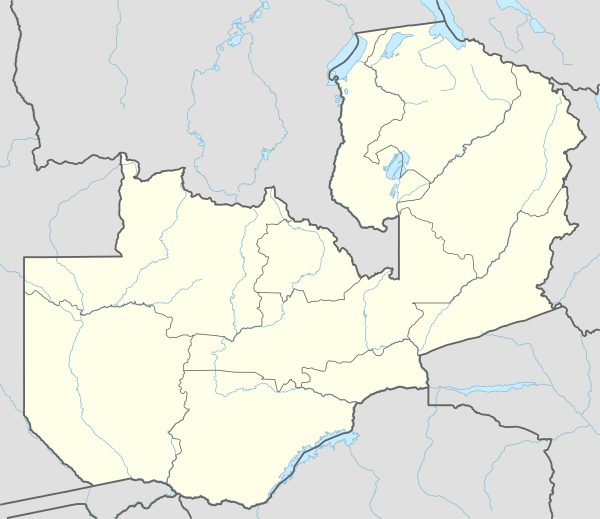 BBZ Location of the airport in Zambia | |||||||||||
| Runways | |||||||||||
| |||||||||||
|
Sources: Google Maps[1] | |||||||||||
Zambezi Airport (IATA: BBZ, ICAO: FLZB) is an airport serving the town of Zambezi in the Northwestern Province of the country Zambia.
See also
- Transport in Zambia
 Zambia portal
 Aviation portal
References
- Directory of Airports in Zambia
- Great Circle Mapper
- Google Earth
External links
This article is issued from Wikipedia - version of the 12/5/2016. The text is available under the Creative Commons Attribution/Share Alike but additional terms may apply for the media files.