Mfuwe Airport
| Mfuwe Airport | |||||||||||
|---|---|---|---|---|---|---|---|---|---|---|---|
 Mfuwe International Airport | |||||||||||
| IATA: MFU – ICAO: FLMF | |||||||||||
| Summary | |||||||||||
| Airport type | Public / Military | ||||||||||
| Serves | Mfuwe, Zambia | ||||||||||
| Elevation AMSL | 1,853 ft / 565 m | ||||||||||
| Coordinates | 13°15′31″S 031°56′11″E / 13.25861°S 31.93639°ECoordinates: 13°15′31″S 031°56′11″E / 13.25861°S 31.93639°E | ||||||||||
| Map | |||||||||||
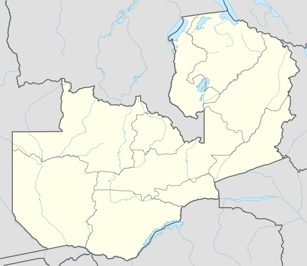 MFU Location of airport in Zambia | |||||||||||
| Runways | |||||||||||
| |||||||||||
Mfuwe Airport (IATA: MFU, ICAO: FLMF) is an airport serving Mfuwe,[1][2] a settlement in the Eastern Province in Zambia.
It serves the tourism industry based on the nearby South Luangwa National Park and other wildlife areas in the Luangwa Valley. It has a 2.15 km surfaced runway and takes international flights in the tourist season (making it one of only four international airports in Zambia).
Facilities
The airport resides at an elevation of 1,853 feet (565 m) above mean sea level. It has one runway designated 09/27 with an asphalt surface measuring 2,200 by 30 metres (7,218 ft × 98 ft).[1]
Airlines and destinations
| Airlines | Destinations |
|---|---|
| Ulendo Airlink | Lilongwe |
| Proflight Zambia | Lusaka |
References
- 1 2 3 Airport information for FLMF from DAFIF (effective October 2006)
- 1 2 Airport information for MFU at Great Circle Mapper. Source: DAFIF (effective October 2006).
External links
This article is issued from Wikipedia - version of the 12/4/2016. The text is available under the Creative Commons Attribution/Share Alike but additional terms may apply for the media files.