Yendi Airport
| Yendi Airport | |||||||||||
|---|---|---|---|---|---|---|---|---|---|---|---|
| Summary | |||||||||||
| Serves | Yendi, Ghana | ||||||||||
| Elevation AMSL | 734 ft / 224 m | ||||||||||
| Coordinates | 09°25′30″N 000°00′17″W / 9.42500°N 0.00472°W | ||||||||||
| Map | |||||||||||
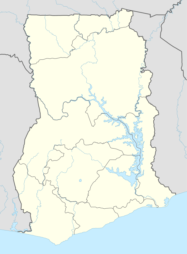 DGLY Location in Ghana | |||||||||||
| Runways | |||||||||||
| |||||||||||
Yendi Airport (ICAO: DGLY) is an airport serving Yendi, a town in the Northern Region of Ghana.
References
- ↑ Google Maps - Yendi
- ↑ Great Circle Mapper - Yendi
This article is issued from Wikipedia - version of the 7/1/2015. The text is available under the Creative Commons Attribution/Share Alike but additional terms may apply for the media files.