Sunyani Airport
| Sunyani Airport | |||||||||||
|---|---|---|---|---|---|---|---|---|---|---|---|
| IATA: NYI – ICAO: DGSN | |||||||||||
| Summary | |||||||||||
| Airport type | Public | ||||||||||
| Operator | Government | ||||||||||
| Location | Sunyani, Brong Ahafo | ||||||||||
| Elevation AMSL | 1,014 ft / 309 m | ||||||||||
| Coordinates | 07°21′42″N 002°19′43″W / 7.36167°N 2.32861°W | ||||||||||
| Map | |||||||||||
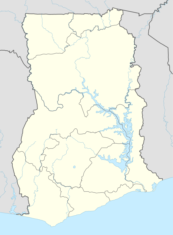 NYI Location in Ghana | |||||||||||
| Runways | |||||||||||
| |||||||||||
Sunyani Airport (IATA: NYI, ICAO: DGSN) is an airport serving Sunyani, a town and capital of Brong Ahafo mid-western Ghana.[1][2] Sunyani Airport dates back as 1942, when a communication outpost and aerodrome was built for the use of the Allied Forces. However, before the end of the war, the airstrip was abandoned.
In 1969, the Busia Government seeing the need for an airport for Sunyani initiated construction work for a full airport. This was completed and officially opened on 13 July 1974, by Col. P.K. Agyekum, the then Commissioner for Communications and Transportation.
The 1288 meter runway cannot be extended due to a gully at one end and a hill at the other. This limitation renders the airport unsuitable for use by medium range jets. The Airport is under the management of GACL.[4]
Airlines destination
| Airlines | Destinations |
|---|---|
| Starbow Airlines | Accra |
References
- 1 2 Airport information for DGSN at World Aero Data. Data current as of October 2006.Source: DAFIF.
- 1 2 Airport information for NYI at Great Circle Mapper. Source: DAFIF (effective October 2006).
- ↑ Google Maps - Sunyani
- ↑ Ghana Airports Company Limited