Ybbstal Alps
| Ybbstal Alps | |
|---|---|
 | |
| Highest point | |
| Peak | Hochstadl |
| Elevation | 1,919 m (6,296 ft) |
| Geography | |
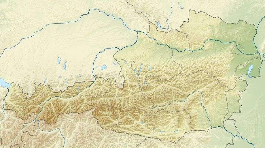 Location of the Ybbstal Alps | |
| Country | Austria |
| States | Upper Austria, Lower Austria, Styria |
| Range coordinates | 47°41′N 15°04′E / 47.69°N 15.07°ECoordinates: 47°41′N 15°04′E / 47.69°N 15.07°E |
| Parent range | Northern Limestone Alps |
The Ybbstal Alps (German: Ybbstaler Alpen) are a mountain range of the Northern Limestone Alps and part of the Eastern Alps, located in Austria.
They occupy an area along the borders of the states of Upper Austria, Lower Austria and Styria. The range includes the eastern part of the Eisenwurzen, as well as the Göstling Alps and the Kräuterin in the south.
The Göstling Alps are home to the popular skiing area at Hochkar (1,880 metres). Their highest peak is the Hochstadl, at 1,919 m (6,296 ft) above sea level.
Another popular mountain is the Dürrenstein at 1,870 m.
References

This article is issued from Wikipedia - version of the 11/28/2016. The text is available under the Creative Commons Attribution/Share Alike but additional terms may apply for the media files.