Xangongo Airport
| Xangongo Airport | |||||||||||
|---|---|---|---|---|---|---|---|---|---|---|---|
| Summary | |||||||||||
| Airport type | Public | ||||||||||
| Serves | Xangongo | ||||||||||
| Location | Angola | ||||||||||
| Elevation AMSL | 3,635 ft / 1,108 m | ||||||||||
| Coordinates | 16°45′20″S 14°57′55″E / 16.75556°S 14.96528°ECoordinates: 16°45′20″S 14°57′55″E / 16.75556°S 14.96528°E | ||||||||||
| Map | |||||||||||
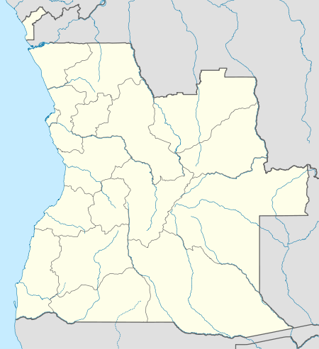 FNXA Location of airport in Angola | |||||||||||
| Runways | |||||||||||
| |||||||||||
Xangongo Airport (IATA: XGN, ICAO: FNXA) is an airport near Xangongo, Angola. It was built by the Cubans in 1988 as a forward air base during the last campaign against apartheid South Africa in the Angolan Civil War.
See also
 Angola portal
 Aviation portal
- List of airports in Angola
- Transport in Angola
References
- ↑ "FNXA @ aerobaticsweb.org". Landings.com. Retrieved 2013-07-31.
- ↑ Google Maps - Xangongo
- ↑ Airport information for XGN at Great Circle Mapper.
External links
This article is issued from Wikipedia - version of the 12/4/2016. The text is available under the Creative Commons Attribution/Share Alike but additional terms may apply for the media files.