Negage Airport
| Negage Airport | |||||||||||||||
|---|---|---|---|---|---|---|---|---|---|---|---|---|---|---|---|
| IATA: GXG – ICAO: FNNG | |||||||||||||||
| Summary | |||||||||||||||
| Airport type | Public | ||||||||||||||
| Serves | Negage, Angola | ||||||||||||||
| Elevation AMSL | 4,105 ft / 1,251 m | ||||||||||||||
| Coordinates | 7°45′15″S 15°17′15″E / 7.75417°S 15.28750°ECoordinates: 7°45′15″S 15°17′15″E / 7.75417°S 15.28750°E | ||||||||||||||
| Map | |||||||||||||||
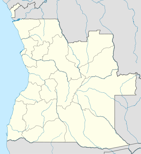 GXG Location of Negage Airport in Angola | |||||||||||||||
| Runways | |||||||||||||||
| |||||||||||||||
Negage Airport (IATA: GXG, ICAO: FNNG) is an airport serving Negage, a town and municipality in Uíge Province in Angola. It was formerly a Portuguese military airbase.
The Negage non-directional beacon (Ident NG) is reportedly on the airfield.[5]
See also
 Angola portal
 Aviation portal
- List of airports in Angola
- Transport in Angola
References
- ↑ Airport information for FNNG from DAFIF (effective October 2006)
- ↑ Airport information for GXG at Great Circle Mapper.
- ↑ "FNNG @ aerobaticsweb.org". Landings.com. Retrieved 31 July 2013.
- ↑ Google Maps - Negage
- ↑ World Aero Data - Negage NDB
External links
This article is issued from Wikipedia - version of the 11/27/2016. The text is available under the Creative Commons Attribution/Share Alike but additional terms may apply for the media files.