Washington State Route 193
| ||||
|---|---|---|---|---|
| Wawawai Road | ||||
|
SR 193 is highlighted in red. | ||||
| Route information | ||||
| Defined by RCW 47.17.375 | ||||
| Maintained by WSDOT | ||||
| Length: | 2.58 mi[1] (4.15 km) | |||
| Existed: | 1964[2] – present | |||
| Major junctions | ||||
| South end: |
| |||
| North end: | Wawawai Road near Clarkston | |||
| Location | ||||
| Counties: | Whitman | |||
| Highway system | ||||
| ||||


State Route 193 (SR 193) is a 2.58-mile (4.15 km) long state highway that serves the Port of Wilma in Whitman County, located in the U.S. state of Washington. The highway parallels the Snake River from an intersection with SR 128 north of Clarkston to the Port of Wilma. The current road is a short segment of the former route that extended from U.S. Route 12 (US 12) in Clarkston to US 195 west of Colton that was added to the highway system in 1969 as Secondary State Highway 3G (SSH 3G) in 1969 and removed in 1992.
Route description
State Route 193 (SR 193) begins at an intersection with SR 128 north of the Red Wolf Crossing over the Snake River in Clarkston. SR 128 turns east towards Lewiston, Idaho, Idaho and SR 193 travels west on the Wawawai Road parallel to the Snake River and the Great Northwest Railroad to the Port of Wilma,[3] carrying a daily average of 1,600 vehicles in 2011.[4] The highway ends at a private gravel road and the roadway continues downstream as the Wawawai Road to Wawawai County Park.[5]
History
The Wawawai area was a community for Chinese laborers working on nearby farms located on the Snake River, founded in 1875.[6] The community was serviced by the Snake River Valley Railroad that connected Lewiston, Idaho to Washington state.[6] The Wawawai Road was an unpaved dirt road by the 1960s,[7][8] before the Port of Wilma was established and built.[9] The highway from U.S. Route 410 (US 410) in Clarkston through Wawawai and to US 195 west of Colton was signed as Secondary State Highway 3G (SSH 3G) in 1969. SSH 3G became SR 193 during a highway renumbering and was signed in 1970.[2][10] The highway was shortened to the current 2.58-mile (4.15 km) route in 1991 and the former route from US 410 (now US 12) in Clarkston to the Wawawai Road north of the Snake River became part of SR 128.[2][11][12] Since 1991, no major revisions to the highway's route have occurred.[1][13]
Major intersections
The entire highway is in Whitman County.
| Location | mi[1] | km | Destinations | Notes | |
|---|---|---|---|---|---|
| | 0.00 | 0.00 | Southern terminus | ||
| | 2.58 | 4.15 | Wawawai Road | Northern terminus; continues as Wawawai Road | |
| 1.000 mi = 1.609 km; 1.000 km = 0.621 mi | |||||
References
- 1 2 3 Staff (2012), State Highway Log: Planning Report 2011, SR 2 to SR 971 (PDF), Washington State Department of Transportation, p. 1189, retrieved January 8, 2013
- 1 2 3 "47.17.375: State route No. 193", Revised Code of Washington, Washington State Legislature, 1970, retrieved January 8, 2013
- ↑ 2011 Washington State Rail System (PDF) (Map). Washington State Department of Transportation. January 2012. Retrieved January 8, 2013.
- ↑ Staff (2011), 2011 Annual Traffic Report (PDF), Washington State Department of Transportation, p. 154, retrieved January 8, 2013
- ↑ Google (January 8, 2013). "State Route 193" (Map). Google Maps. Google. Retrieved January 8, 2013.
- 1 2 Dougherty, Phil (October 3, 2006), "Wawawai -- Vanished Orchard Community of the Snake River", HistoryLink, retrieved January 8, 2013
- ↑ Highways of the State of Washington (DJVU) (Map). Cartography by Rand McNally. Department of Highways. 1950. Retrieved January 8, 2013.
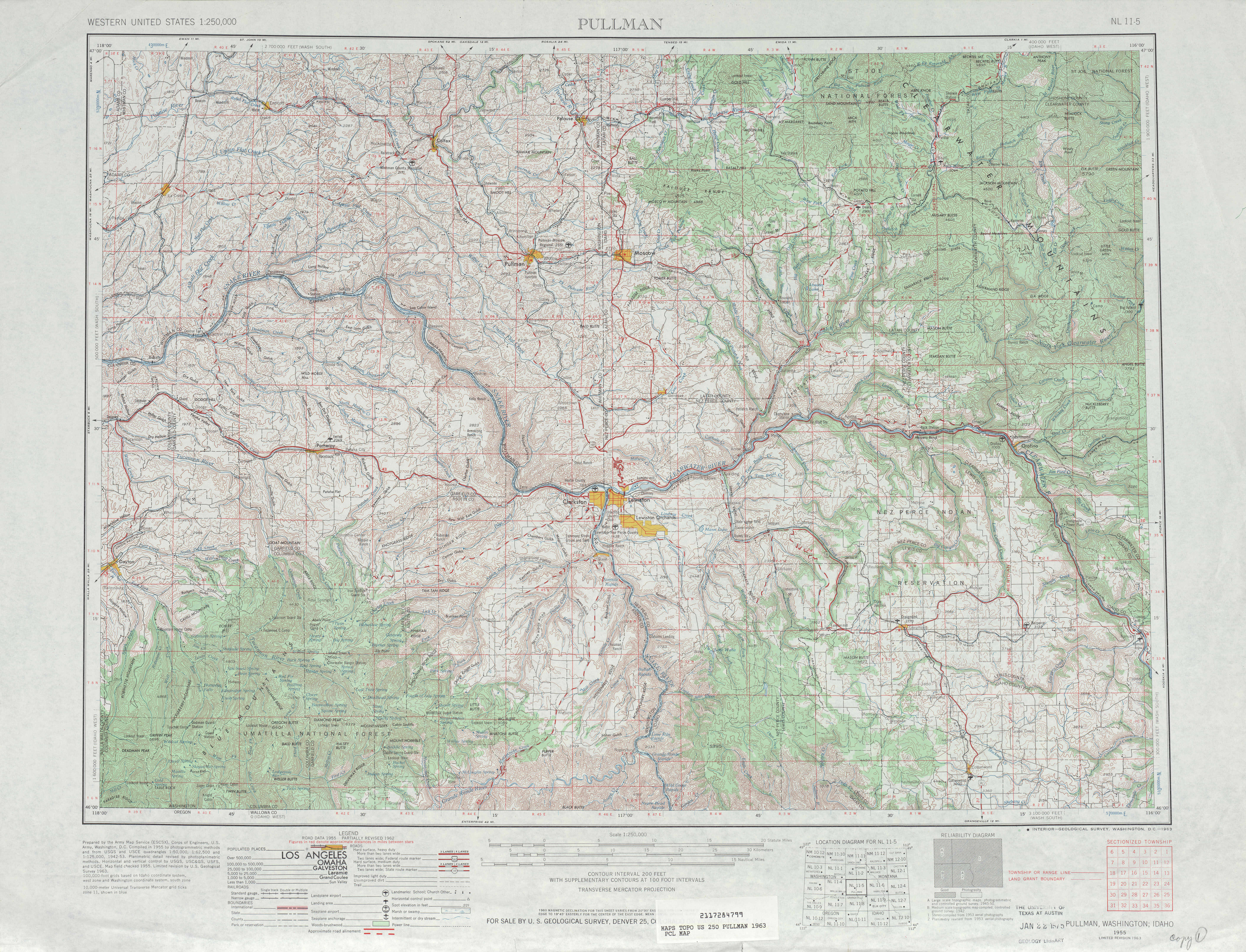
- ↑ Pullman, 1963 (JPG) (Map). 1:125,000. United States Geological Survey. 1963. Retrieved January 8, 2013.
- ↑ Paulus, Michael (January 3, 2011), "Port of Whitman County is established on November 4, 1958.", HistoryLink, retrieved January 8, 2013
- ↑ Washington State Legislature (1969), Session Laws of the State of Washington, Session Laws of the State of Washington (1969 ed.), Olympia, Washington: Washington State Legislature
- ↑ Washington House of Representatives (1991), Chapter 342, Laws of 1991: State Highway Routes — Revisons To (House Bill 5801)", Session Laws of the State of Washington (1991 ed.), Olympia, Washington: Washington State Legislature
- ↑ "Highway 410 is now U.S. No. 12". Walla Walla Union-Bulletin. December 28, 1967. p. 1.
- ↑ Washington State Highways, 2011–2012 (PDF) (Map). 1:842,000. Washington State Department of Transportation. 2011. Retrieved January 8, 2013.