Venison Island
 Venison Island, as photographed by Edith Watson in August 1913 | |
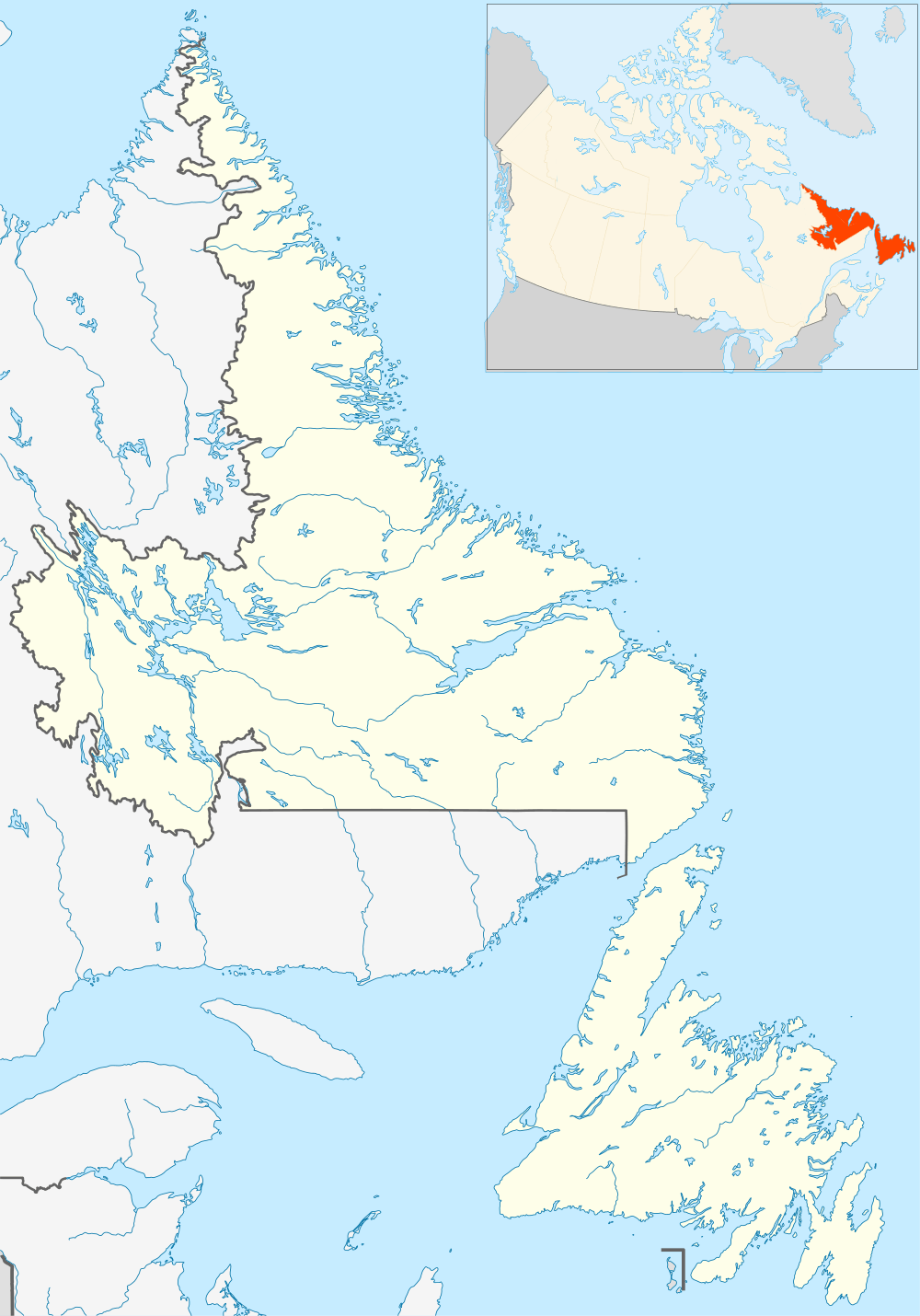 Venison Location of the Venison Island in Labrador | |
| Geography | |
|---|---|
| Location | Labrador Sea |
| Coordinates | 52°58′12″N 55°46′30″W / 52.970°N 55.775°WCoordinates: 52°58′12″N 55°46′30″W / 52.970°N 55.775°W |
| Area | 1 km2 (0.39 sq mi) |
| Highest elevation | 68 m (223 ft) |
| Administration | |
|
Canada | |
| Province | Newfoundland and Labrador |
Venison Island is an island off of the coast of Labrador.
The island is separated from Stony Island by a narrow channel called Venison Tickle and measures 1200 m by 550 m.[1] The island once had a busy wharf and fishing community, a wireless telegraph station (code VI)[2] and a population of 36 year-round residents in 1901.[3]
References
- ↑ The Newfoundland (and Labrador) pilot. Admiralty Hydrogr. Dept. 1878. pp. 374–375.
- ↑ Wireless telegraph stations of the world. United States. Navy Dept. Bureau of Steam Engineering. 1907. p. 20.
- ↑ Census of Newfoundland and Labrador 1901. 1. Newfoundland Colonial Secretary's Office, Sir Robert Bond. 1901. p. 412.
This article is issued from Wikipedia - version of the 11/11/2016. The text is available under the Creative Commons Attribution/Share Alike but additional terms may apply for the media files.