Velika, Croatia
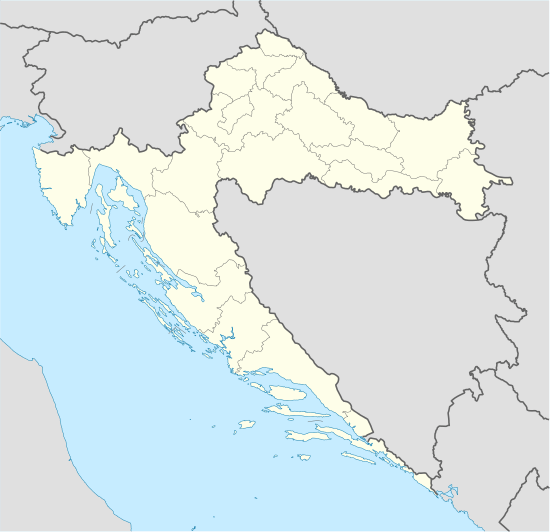
Velika (in Hungarian: Velike), a village and recreational centre on the southern slopes of Papuk Mountain in the Požega Valley in Slavonia, 12 km north of Požega; located in Požega-Slavonia County elevation 278 m. Chief occupations include farming, viticulture and tourism. Velika is located on a regional road and railway track Velika - Pozega - Pleternica - Nova Kapela-Batrina. There are 5,888 people, 94% which are Croats. There are only 3 Serbian households and few people of Czech, Hungarian, German and Slovenian descent. It was ruled by Ottoman Empire between 1532 and 1687 and again between 1690 and 1691 as part of Sanjak of Pojega before Austrian conquest.
Velika is the major starting point for ascents to Papuk Mountain (954 m). Sports and recreational opportunities include walking, hiking, soccer (NK Kamen Ingrad, now NK Papuk Velika) and swimming in the summer months and skiing in the winter months, on the location Jezerce Nevoljas (ski slopes and ski-lift). Hunting and angling opportunities are provided nearby. Velika is also notable for its local specialities (kulen, i.e. paprika-flavoured sausages, smoked ham, freshwater fish) and quality wines.
Subdivisions of Požega-Slavonia County | ||
|---|---|---|
| Towns |
|  |
| Municipalities | ||
Coordinates: 45°27′08″N 17°39′51″E / 45.45222°N 17.66417°E