Veitastrond
| Veitastrond | |
|---|---|
| Village | |
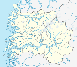 Veitastrond  Veitastrond Location in Sogn og Fjordane county | |
| Coordinates: 61°28′21″N 07°02′38″E / 61.47250°N 7.04389°ECoordinates: 61°28′21″N 07°02′38″E / 61.47250°N 7.04389°E | |
| Country | Norway |
| Region | Western Norway |
| County | Sogn og Fjordane |
| District | Sogn |
| Municipality | Luster |
| Elevation[1] | 174 m (571 ft) |
| Time zone | CET (UTC+01:00) |
| • Summer (DST) | CEST (UTC+02:00) |
| Post Code | 6878 Veitastrond |
Veitastrond is a small village in the western part of the municipality of Luster in Sogn og Fjordane county, Norway. It is located near the Jostedalsbreen glacier, and Jostedalsbreen National Park surrounds the village on three sides. Veitastrond is located at the northern end of an isolated valley. There is only one road access to Veitastrond, a 30-kilometre (19 mi) long road heading northwest from the village of Hafslo, the nearest urban center. Veitastrond sits about 45 kilometres (28 mi) from the village of Gaupne, the municipal center.
The village has 123 inhabitants who share a small shop, a school (9 pupils), and Veitastrond Chapel. The economy is primarily based on agriculture. The Storelvi river passes by the village before emptying into the long lake Veitastrondsvatnet.
Historically, Veitastrond was part of the municipality of Hafslo from 1838 until 1 January 1963 when Hafslo municipality merged into Luster municipality.[2]
The former Sogndal-player Kurt Heggestad hails from Veitastrond.[3]
References
- ↑ "Veitastrond" (in Norwegian). yr.no. Retrieved 2010-09-12.
- ↑ Jukvam, Dag (1999). "Historisk oversikt over endringer i kommune- og fylkesinndelingen" (PDF) (in Norwegian). Statistisk sentralbyrå.
- ↑ Tomasgard, Jørn-Arne (17 November 2008). "Valde geitene framfor fotballen". Bergens Tidende (in Norwegian). Retrieved 6 January 2013.