Varaldsøy (municipality)
| Varaldsøy herad | |
|---|---|
| Former Municipality | |
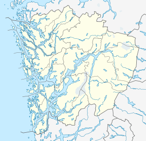 Varaldsøy herad Location in Hordaland county | |
| Coordinates: 60°07′43″N 05°59′21″E / 60.12861°N 5.98917°ECoordinates: 60°07′43″N 05°59′21″E / 60.12861°N 5.98917°E | |
| Country | Norway |
| Region | Western Norway |
| County | Hordaland |
| District | Hardanger |
| Municipality ID | NO-1201 |
| Adm. Center | Varaldsøy |
| Area[1] | |
| • Total | 83 km2 (32 sq mi) |
| Time zone | CET (UTC+01:00) |
| • Summer (DST) | CEST (UTC+02:00) |
| Created from | Strandebarm in 1902 |
| Merged into | Kvam and Kvinnherad in 1965 |
Varaldsøy is a former municipality in Hordaland county, Norway. The 83-square-kilometre (32 sq mi) municipality encompassed the whole island of Varaldsøy and a 2-to-3-kilometre (1.2 to 1.9 mi) wide strip of the mainland northwest and west of the island. The administrative centre of the municipality was the village area of Varaldsøy on the southern part of the island, where Varaldsøy Church is located.[1]

History
On 1 January 1902, the southern district of the municipality of Strandebarm was separated to become the new municipality of Varaldsøy. Initially, Varaldsøy had a population of 848. On 1 January 1965, the municipality of Varaldsøy was dissolved and its lands were split between two neighboring municipalities. The Mundheim area northwest of the island on the mainland (population: 300) was incorporated into Kvam municipality, and the island of Varaldsøy and the rest of the mainland area west of the island (population: 511) became a part of Kvinnherad municipality.[2]
References
- 1 2 Store norske leksikon. "Varaldsøy. – kommune" (in Norwegian). Retrieved 2014-06-24.
- ↑ Jukvam, Dag (1999). "Historisk oversikt over endringer i kommune- og fylkesinndelingen" (PDF) (in Norwegian). Statistisk sentralbyrå.