Washington State Route 215
| ||||
|---|---|---|---|---|
|
SR 215 is highlighted in red. | ||||
| Route information | ||||
| Auxiliary route of SR 20 | ||||
| Defined by RCW 47.17.419 | ||||
| Maintained by WSDOT | ||||
| Length: | 6.24 mi[1] (10.04 km) | |||
| Existed: | 1973[2] – present | |||
| Major junctions | ||||
| South end: |
| |||
|
| ||||
| North end: |
| |||
| Location | ||||
| Counties: | Okanogan | |||
| Highway system | ||||
| ||||


State Route 215 (SR 215) is a 6.24-mile long (10.04 km) state highway serving Okanogan County in the U.S. state of Washington. The highway travels northeast parallel to the Okanogan River from SR 20 in Okanogan to SR 155 Spur in Downtown Omak. SR 215 turns east to end at an intersection with SR 20 and U.S. Route 97 (US 97) in North Omak. The highway was previously part of State Road 10 and Primary State Highway 10 (PSH 10), concurrent with US 97, until a bypass of Omak was built in the 1960s. SR 20 was routed onto the highway after the 1964 highway renumbering, but was moved to the bypass and replaced by SR 215 in 1973.
Route description
SR 215 begins as 2nd Avenue in Okanogan at an intersection with SR 20, which turns southeast to cross the Okanogan River.[3][4] 2nd Avenue crosses over Salmon Creek before it empties into the Okanogan River at Alma Park.[5][6] The highway continues northeast and passes the Okanogan Community Library before leaving Okanogan for Omak,[7] becoming Elmway.[1][8] SR 215 passes the Omak Memorial Cemetery and Mid-Valley Hospital before becoming Okoma Drive and entering Downtown Omak.[1][9][10] The roadway turns east onto 4th Avenue and back north onto Main Street, passing the local post office,[11] before intersecting Omak Avenue, signed as SR 155 Spur.[1] Main Street continues north and passes the Omak campus of Wenatchee Valley College,[12] before turning east onto Riverside Drive and ending at an intersection with SR 20 and US 97.[1][13]
Every year the Washington State Department of Transportation (WSDOT) conducts a series of surveys on its highways in the state to measure traffic volume. This is expressed in terms of average annual daily traffic (AADT), which is a measure of traffic volume for any average day of the year. In 2011, WSDOT calculated that between 4,200 and 13,000 vehicles per day used the highway, mostly in Downtown Omak.[14]
History
A north–south road connecting Okanogan to Omak along the Okanogan River has existed since 1903,[15] and was designated as part of State Road 10 in 1905.[16][17] The highway was named the Chelan and Okanogan Highway in 1919 and became part of US 97 in 1926 during the creation of the United States Numbered Highways,[18][19] and became PSH 10 during the creation of the Primary and secondary state highways in 1937.[20][21] Beginning in 1962, a bypass of Omak was constructed on the east side of the Okanogan River,[22][23][24] and US 97 was re-routed onto it in 1967.[25][26][27] SSH 16A was created using the old alignment of US 97 and PSH 10, extending from PSH 16 in Okanogan to US 97 and PSH 10 in Omak.[27] After the 1964 highway renumbering, SSH 16A became part of SR 20 and was signed into law in 1970,[27][28] however SR 20 was extended east along US 97 and the old route became SR 215 in 1973.[2] No major revisions to the route of the highway has occurred since 1973.[29]
Major intersections
The entire highway is in Okanogan County.
| Location | mi[1] | km | Destinations | Notes | |
|---|---|---|---|---|---|
| Okanogan | 0.00 | 0.00 | |||
| Omak | 5.05 | 8.13 | Former SR 155 | ||
| 6.24 | 10.04 | ||||
| 1.000 mi = 1.609 km; 1.000 km = 0.621 mi | |||||
References
- 1 2 3 4 5 6 Staff (2012), State Highway Log: Planning Report 2011, SR 2 to SR 971 (PDF), Washington State Department of Transportation, pp. 1245–1248, retrieved January 21, 2013
- 1 2 "47.17.419: State route No. 215", Revised Code of Washington, Washington State Legislature, 1973, retrieved January 21, 2013
- ↑ "Feature Detail Report for: City of Okanogan", Geographic Names Information System, United States Geological Survey, March 11, 2008, retrieved January 21, 2013
- ↑ "Feature Detail Report for: Okanogan River", Geographic Names Information System, United States Geological Survey, September 10, 1979, retrieved January 21, 2013
- ↑ "Feature Detail Report for: Salmon Creek", Geographic Names Information System, United States Geological Survey, September 10, 1979, retrieved January 21, 2013
- ↑ "Feature Detail Report for: Alma Park", Geographic Names Information System, United States Geological Survey, April 1, 1991, retrieved January 21, 2013
- ↑ "Feature Detail Report for: Okanogan Community Library", Geographic Names Information System, United States Geological Survey, June 7, 2010, retrieved January 21, 2013
- ↑ "Feature Detail Report for: Omak", Geographic Names Information System, United States Geological Survey, September 10, 1979, retrieved January 21, 2013
- ↑ "Feature Detail Report for: Omak Memorial Cemetery", Geographic Names Information System, United States Geological Survey, September 10, 1979, retrieved January 21, 2013
- ↑ "Feature Detail Report for: Mid - Valley Hospital", Geographic Names Information System, United States Geological Survey, October 1, 1991, retrieved January 21, 2013
- ↑ "Feature Detail Report for: Omak Post Office", Geographic Names Information System, United States Geological Survey, June 7, 2010, retrieved January 21, 2013
- ↑ Campus Maps, Wenatchee Valley College, January 11, 2013, retrieved January 21, 2013
- ↑ Google (January 21, 2013). "State Route 215" (Map). Google Maps. Google. Retrieved January 21, 2013.
- ↑ Staff (2011), 2011 Annual Traffic Report (PDF), Washington State Department of Transportation, p. 159, retrieved January 21, 2013
- ↑ Washington: Okanogan Quadrangle (JPG) (Map). 1:125,000. United States Geological Survey. Retrieved January 21, 2013.
- ↑ Washington State Legislature (January 26, 1905), "Chapter 7: Providing for the Establishment and Repair of Certain State Highways", Session Laws of the State of Washington, Session Laws of the State of Washington (1905 ed.), Olympia, Washington: Washington State Legislature, p. 22, retrieved January 21, 2013
- ↑ Map of the State of Washington Showing State Roads - Located and Proposed (DJVU) (Map). Washington State Highway Commission. 1909. Retrieved January 21, 2013.
- ↑ Washington State Legislature (1919), Session Laws of the State of Washington, Session Laws of the State of Washington (1919 ed.), Olympia, Washington: Washington State Legislature, retrieved January 21, 2013
- ↑ Bureau of Public Roads & American Association of State Highway Officials (November 11, 1926). United States System of Highways Adopted for Uniform Marking by the American Association of State Highway Officials (Map). 1:7,000,000. Washington, DC: U.S. Geological Survey. OCLC 32889555. Retrieved November 7, 2013 – via University of North Texas Libraries.
- ↑ Washington State Legislature (March 17, 1937), "Chapter 190: Establishment of Primary State Highways", Session Laws of the State of Washington, Session Laws of the State of Washington (1937 ed.), Olympia, Washington: Washington State Legislature, p. 939, retrieved January 21, 2013
- ↑ Highways of the State of Washington (DJVU) (Map). Department of Highways. 1939. Retrieved January 21, 2013.
- ↑ "Bypass Job Under Way Near Omak", The Spokesman-Review, Spokane, Washington, p. 45, October 4, 1962, retrieved January 21, 2013
- ↑ "Bypass May Be No Foe to Trade", The Spokesman-Review, Spokane, Washington, p. 18, March 19, 1965, retrieved January 21, 2013
- ↑ Larsen, Jeff (October 13, 2004), "Short Trips: Omak has a big reputation and heart", The Seattle Post-Intelligencer, Seattle, retrieved January 21, 2013
- ↑ Washington State Legislature (1967), "Chapter 145", Session Laws of the State of Washington, Session Laws of the State of Washington (1967 ed.), Olympia, Washington: Washington State Legislature
- ↑ Northwest, 1967 (Map). Rand McNally. 1967. Retrieved January 21, 2013.
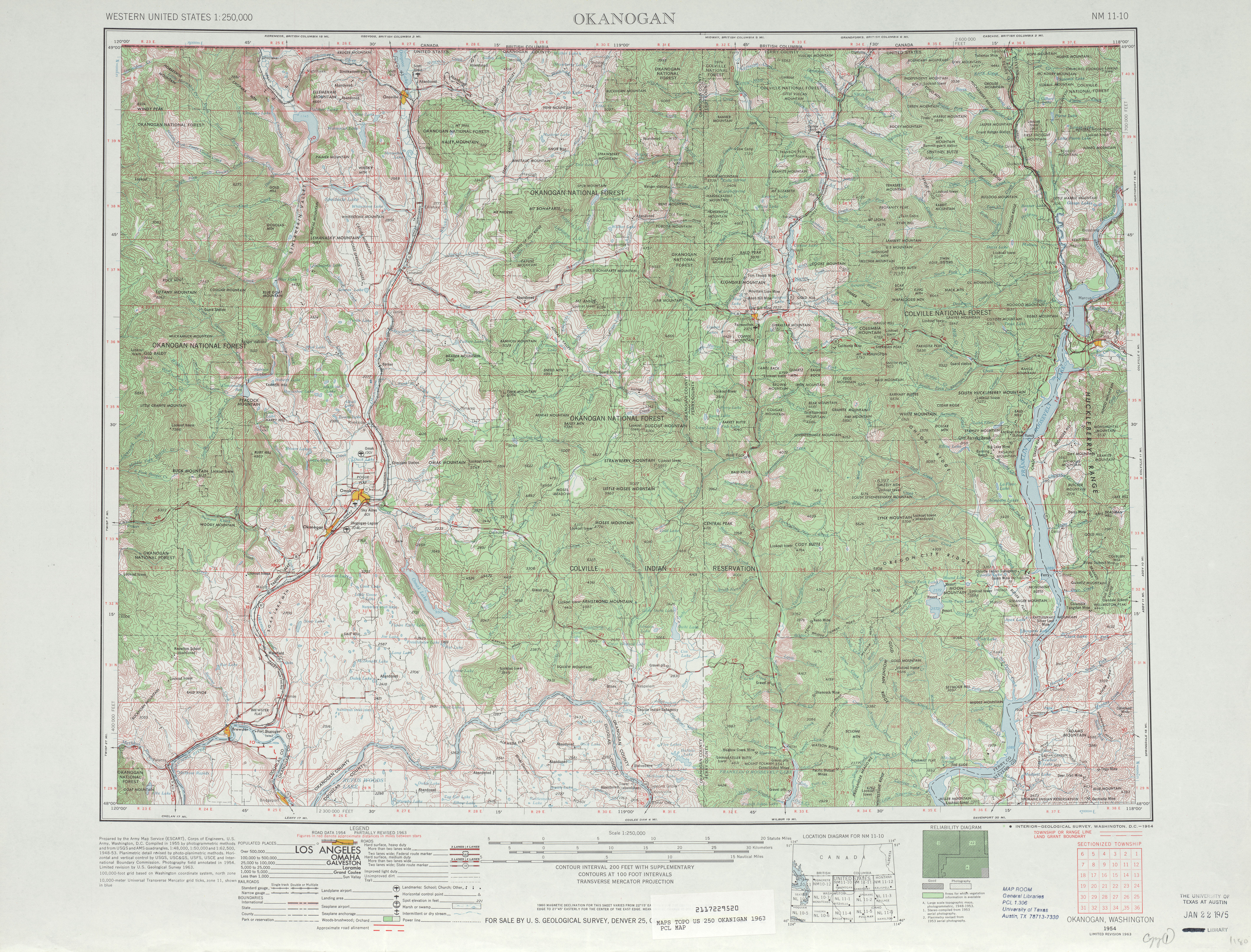
- 1 2 3 Okanogan, 1963 (JPG) (Map). 1:250,000. United States Geological Survey. 1963. Retrieved January 21, 2013.
- ↑ Prahl, C. G. (December 1, 1965), Identification of State Highways (PDF), Washington State Highway Commission, Department of Highways, retrieved January 21, 2013
- ↑ Washington State Highways, 2011–2012 (PDF) (Map). 1:842,000. Washington State Department of Transportation. 2011. Retrieved January 21, 2013.
External links
| Features |
|
|---|---|
| Geography | |
| Economy |
|
| Government | |
| Public services | |
| Education | |
| Culture | |
| Transportation | |
| |