Tum Airport
| Tum Airport | |||||||||||
|---|---|---|---|---|---|---|---|---|---|---|---|
| IATA: TUJ – ICAO: none | |||||||||||
| Summary | |||||||||||
| Airport type | Public | ||||||||||
| Operator | Ethiopian Civil Aviation Authority | ||||||||||
| Serves | Tum, Maji | ||||||||||
| Elevation AMSL | 4,650 ft / 1,417 m | ||||||||||
| Coordinates | 6°15′35″N 35°31′10″E / 6.25972°N 35.51944°ECoordinates: 6°15′35″N 35°31′10″E / 6.25972°N 35.51944°E | ||||||||||
| Map | |||||||||||
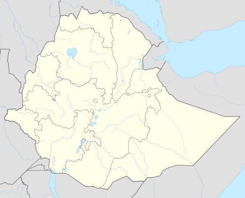 TUJ Location of the airport in Ethiopia | |||||||||||
| Runways | |||||||||||
| |||||||||||
|
Source: Google Maps[1] | |||||||||||
Tum Airport (IATA: TUJ) is an airport in southwestern Ethiopia. It serves the towns of Tum and Maji.
See also
 Aviation portal
References
- Great Circle Mapper - Tum
- Google Earth
External links
This article is issued from Wikipedia - version of the 12/5/2016. The text is available under the Creative Commons Attribution/Share Alike but additional terms may apply for the media files.