Maji, Ethiopia
| Maji | |
|---|---|
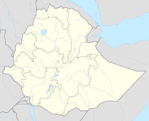 Maji Location within Ethiopia | |
| Coordinates: 6°12′N 35°35′E / 6.200°N 35.583°E | |
| Country |
|
| Region | Southern Nations, Nationalities, and Peoples |
| Zone | Bench Maji |
| Population (2005) | |
| • Total | 2,930 |
| Time zone | EAT (UTC+3) |
| Climate | Cfb |
Maji (also Machi) is a town in southern Ethiopia. It is located on the Boma Plateau, lying in the Bench Maji Zone of the Southern Nations, Nationalities and Peoples Region, and has a longitude and latitude of 6°12′N 35°35′E / 6.200°N 35.583°ECoordinates: 6°12′N 35°35′E / 6.200°N 35.583°E with an elevation variously given as 2104, 2258 and 2430 meters above sea level. The town is the administrative center for the Maji woreda.
Postal service in Maji started at some time between 1923-1932. From the 1930s the town had a customs post and a telephone station.[1] The town is served by Tume Airport (ICAO code HAMJ).
History
Maji was founded around 1897 when Ras Welde Giyorgis stationed a garrison of Ethiopian soldiers near the lands of the ture, a personage Garretson describes as "the most powerful and respected religious figure in the area." Garretson explains how an administrative center for the region soon followed: "Built on a commanding hill were a fortified encampment of gibbi (the personal headquarters of the governor), a church and a market. All were carefully observed and guarded by the governor and his retinue of soldiers."[2] Richard Pankhurst records that its governor, Dejazmach Taye, amazed by the growing trade at Gambela to the west of him, during the 1920s attempted to develop exports of coffee, rubber, hides and ivory through the port town.[3]
Prior to the Italian occupation, the British had a consulate in Maji. The town was occupied by the Italians 18 March 1937, and liberated from them by May 1941.[1] During this period, the occupiers built roads so that vehicles could be driven to Maji and a Catholic Mission operated there which ran at least one school. An American Mission was established in 1948 near Maji, and provided education and medical care until it was closed in 1977.[4]
When the Maji Zone was created in the mid-1990s, Maji became its administrative center.
Demographics
Based on figures from the Central Statistical Agency, in 2005 Maji has an estimated total population of 2,930 of whom 1,302 were males and 1,628 were females.[5] The 1994 national census reported this town had a total population of 1,617 of whom 721 were males and 896 were females.
References
- 1 2 "Local History in Ethiopia" The Nordic Africa Institute website (accessed 14 February 2008)
- ↑ Peter P. Garretson "Vicious cycles: ivory, slaves, and arms on the new Maji frontier", in Donald L. Donham and Wendy James (editors) The Southern Marches of Imperial Ethiopia (Oxford: James Currey, 2002), p. 201.
- ↑ Richard Pankhurst, Economic History of Ethiopia (Addis Ababa: Haile Selassie I University, 1968), p. 451
- ↑ Beachy, Marvin Dean. 2005. "An overview of Central Dizin phonology and morphology" (M.A. thesis, University of Texas at Arlington), p. 8
- ↑ CSA 2005 National Statistics, Table B.4