Trstenik Airport
| Trstenik Airport Аеродром Трстеник Aerodrom Trstenik | |||||||||||
|---|---|---|---|---|---|---|---|---|---|---|---|
| IATA: none – ICAO: LYTR | |||||||||||
| Summary | |||||||||||
| Airport type | Public | ||||||||||
| Operator | Civil Government | ||||||||||
| Location | Trstenik | ||||||||||
| Elevation AMSL | 525 ft / 160 m | ||||||||||
| Coordinates | 43°36′51.08″N 021°01′48.78″E / 43.6141889°N 21.0302167°ECoordinates: 43°36′51.08″N 021°01′48.78″E / 43.6141889°N 21.0302167°E | ||||||||||
| Map | |||||||||||
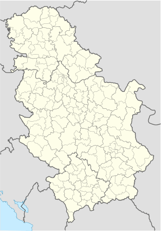 LYTR Location of the airport in Serbia | |||||||||||
| Runways | |||||||||||
| |||||||||||
Trstenik Airport (ICAO: LYTR) (Serbian: Аеродром Трстеник, Latin: Aerodrom Trstenik) also known as "Ozai" is an airport in Serbia, 2.5 km from the town of Trstenik and 12 km from the spa of Vrnjačka Banja. The airport is within the closest vicinity (60 kilometers-about 50 minutes by Bus, instead 2 hours 45 mins from Niš Constantine the Great Airport transfer) to the famous Kopaonik mountain ski resort, and is also 20 kilometers from the Goč mountain.
The Grass runway is 80 meters (262 feet) wide with Concrete runway beginnings on both thresholds are 30 meters (98 feet) in width and 300 meters (985 feet) in length.
In 1990, construction work came to a finish on the building of both a new control tower and underground fuel tanks.
History
On July 4, 1965, the Jat Airways, then known as JAT Yugoslav Airlines, opened line between Belgrade and spa resort Vrnjačka Banja with a Convair CV-440 Metropolitan airliner.
In 2007 the Vrnjačka Banja resort and the Trstenik airport requested approval for opening the airport to the public. The government will most likely accept the proposal.
See also
External links
- Official website
- Trstenik Airport at Panoramio
- (English)Aero Sports
- (Serbian) Trstenik airport information (PDF)
- (Serbian) Srbija će imati 16 malih aerodroma
- (Serbian) Poleće biznis sa vojne piste