Kostolac Airport
| Kostolac Airport Аеродром Костолац Aerodrom Kostolac | |||||||||||
|---|---|---|---|---|---|---|---|---|---|---|---|
 Kostolac Airport Location of Kostolac Airport | |||||||||||
| Summary | |||||||||||
| Airport type | Public | ||||||||||
| Operator | Government of Serbia | ||||||||||
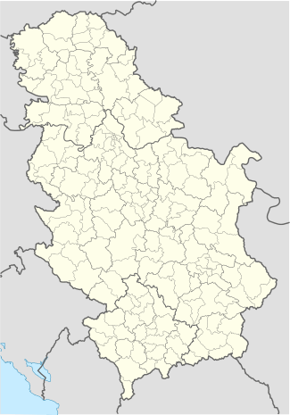
| Location | Kostolac | ||||||||||
| Elevation AMSL | 223 ft / 68 m | ||||||||||
| Coordinates | 44°44′5.802″N 21°9′42.3576″E / 44.73494500°N 21.161766000°ECoordinates: 44°44′5.802″N 21°9′42.3576″E / 44.73494500°N 21.161766000°E | ||||||||||
| Runways | |||||||||||
| |||||||||||
Kostolac Airport (Serbian: Аеродром Костолац / Aerodrom Kostolac) (ICAO: LYKT) is situated on the bank of the Danube river, built in 1998 on the power plant's reclaimed former ash yard. It is two kilometres from the Kostolac town centre and also near the town of Požarevac.
Landing at Kostolac Airport is unique, because the way of landing is over the Danube water plane, which is similar to landing on an aircraft carrier.
There is an international air show every August.
The Airport is close to the ancient Roman city of Viminacium.
See also
External links
- YU-CAB Bellanca 7GCBC Citabria , January 10, 2003 on LYKT-KOSTOLAC
- Galeb G-2 on LYKT, Galeb G-2
- AVIO - TAXI KOSTOLAC,POŽAREVAC,SERBIA
This article is issued from Wikipedia - version of the 5/13/2016. The text is available under the Creative Commons Attribution/Share Alike but additional terms may apply for the media files.