Toubkal National Park
| Toubkal National Park | |
|---|---|
|
IUCN category II (national park) | |
 | |
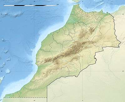 | |
| Location | Morocco |
| Coordinates | 31°5′N 7°50′W / 31.083°N 7.833°WCoordinates: 31°5′N 7°50′W / 31.083°N 7.833°W |
| Area | 380 square kilometres |
| Established | 1942 |
Toubkal National Park is a national park in the High Atlas mountain range, 70 kilometres from Marrakesh in central-western Morocco. Established in 1942, it covers an area of 380 km2. Jbel Toubkal is the highest peak of the park at 4,167 metres.
Archeological sites
In October 2012 Salafists were blamed for destroying an 8,000-year-old petroglyph within the park that depicted the Sun as a divinity.[1][2]
Mountains

The park contains the following mountains:
- Toubkal (4167 m)
- Ouanoukrim (4089 m )
- Plateau de Tazarhart (3995 m)
- L'Aksoual ( 3910 m)
- Ineghmar (3892 m)
- Bou Iguenouane (3882m)
- Le Tichki (3753 m)
- Azrou Tamadout (3664 m)
References
- ↑ Karam, Souhail (18 October 2012). "Salafists blamed for destroying pagan rock carving in Morocco". Reuters.
- ↑ "Region | Morocco Pagan rock carving in Morocco destroyed". Gulf News. 18 October 2012. Retrieved 18 October 2012.
This article is issued from Wikipedia - version of the 12/2/2016. The text is available under the Creative Commons Attribution/Share Alike but additional terms may apply for the media files.