Tinzaouaten
| Tinzaouaten | |
|---|---|
| Commune and village | |
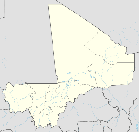 Tinzaouaten Location in Mali | |
| Coordinates: 19°56′00″N 2°55′00″E / 19.93333°N 2.91667°ECoordinates: 19°56′00″N 2°55′00″E / 19.93333°N 2.91667°E | |
| Country |
|
| Region | Kidal Region |
| Cercle | Abeïbara Cercle |
| Area[1] | |
| • Total | 8,750 km2 (3,380 sq mi) |
| Elevation | 618 m (2,028 ft) |
| Population (2009 census)[2] | |
| • Total | 2,300 |
| • Density | 0.26/km2 (0.68/sq mi) |
| Time zone | WAT (UTC+1) |
Tinzaouaten (var. Tinzawatene and Tin-Zaouatene) is a Saharan rural commune in the far northeast of Mali on the Algerian border. The commune is in the Abeïbara Cercle of the Kidal Region. It included a stop on a trans-Saharan trade route and a military post on the frontier under the French colonial regime. In 2009 the 8,000 square kilometer commune had a population of 2,300, most of whom are nomadic Tuareg.[1] The Algerian settlement of Tinzaouten is on the Algerian side of the border.[3]
References
- 1 2 Plan de Sécurité Alimentaire Commune Rurale Tinzawatene 2007-2011 (PDF) (in French), Commissariat à la Sécurité Alimentaire, République du Mali, USAID-Mali, 2007.
- ↑ Resultats Provisoires RGPH 2009 (Région de Kidal) (PDF) (in French), République de Mali: Institut National de la Statistique.
- ↑ fr:Tinzaouten
External links
- Le CARI (Centre d'Actions et de Réalisations Internationales), PAADAP Programme Agroecologique d'Appui au Developpement Agricole et Pastoral commune de Tin Zaouaten Adrar Des Iforas, Republique du Mali.
Capital: Kidal | ||
| Abeibara Cercle |  | |
| Kidal Cercle | ||
| Tessalit Cercle |
| |
| Tin-Essako Cercle | ||
This article is issued from Wikipedia - version of the 8/25/2014. The text is available under the Creative Commons Attribution/Share Alike but additional terms may apply for the media files.