Teror
| Teror | |
|---|---|
| Municipality | |
|
Calle Real, Teror | |
 Municipal location in Gran Canaria | |
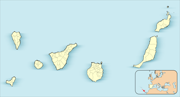 Teror Location in the Canary Islands | |
| Coordinates: 28°3′32″N 15°32′51″W / 28.05889°N 15.54750°WCoordinates: 28°3′32″N 15°32′51″W / 28.05889°N 15.54750°W | |
| Country | Spain |
| Autonomous Region | Canary Islands |
| Province | Las Palmas |
| Island | Gran Canaria |
| Government | |
| • Mayor | Pedro Manuel Rodríguez Pérez (CC) |
| Area[1] | |
| • Total | 25.70 km2 (9.92 sq mi) |
| Elevation(AMSL) | 543 m (1,781 ft) |
| Population (2013)[2] | |
| • Total | 12,761 |
| • Density | 500/km2 (1,300/sq mi) |
| Time zone | CET (UTC+0) |
| • Summer (DST) | CEST (GMT +1) (UTC+1) |
| Postal code | 35330 |
| Area code(s) | +34 (Spain) + 928 (Las Palmas) |
| Website | www.teror.es |

Teror is a town and a municipality in the northern part of the island of Gran Canaria in the Province of Las Palmas in the Canary Islands. Its population is 12,671 (2013),[2] and the area is 25.70 km².[1] Teror is situated in the mountains, 14 km southwest of Las Palmas city. September 8 is the local festivity celebrating Virgen del Pino (virgin of the pine, patron of the Gran Canaria).
Teror has a well preserved old town centre, which is under monument protection. There is a basilica, the quiet Virgin of the Pine Square in front of it, and neatly fronted buildings along the picturesque Calle Real de la Plaza street. After shepherds witnessed a Marian apparition nearby on 8 September 1481, Teror became the most important pilgrimage destination of the Canary Island - and thereby also a rather rich little town. White houses with wooden balconies are typical of the town.
Mineral water is an important product of Teror. There's a weekly market (mercadillo) on Sundays.

See also
References
- 1 2 Instituto Canario de Estadística, area
- 1 2 Instituto Canario de Estadística, population
External links
| Wikimedia Commons has media related to Teror. |
 |
Firgas | Arucas | Las Palmas | |
| Valleseco | |
|||
| ||||
| | ||||
| Vega de San Mateo | Santa Brígida |