Tening Christ Village
| Tening Christ Village Tening Christ Vill. (UR) | |
|---|---|
| village | |
 Tening Christ Village  Tening Christ Village Location in Nagaland, India | |
| Coordinates: 25°18′47″N 93°35′57″E / 25.313193°N 93.599237°ECoordinates: 25°18′47″N 93°35′57″E / 25.313193°N 93.599237°E | |
| Country | India |
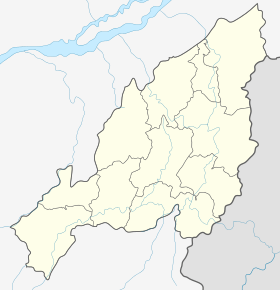
| State | Nagaland |
| District | Peren |
| Circle | Tening |
| Population (2011) | |
| • Total | 2,687 |
| Time zone | IST (UTC+5:30) |
| Census code | 268384 |
Tening Christ Village is a village in the Peren district of Nagaland, India. It is located in the Tening Circle.[1]
Demographics
According to the 2011 census of India, Tening Christ Vill. (UR) has 400 households. The effective literacy rate (i.e. the literacy rate of population excluding children aged 6 and below) is 82.59%.[2]
| Total | Male | Female | |
|---|---|---|---|
| Population | 2687 | 1320 | 1367 |
| Children aged below 6 years | 246 | 105 | 141 |
| Scheduled caste | 0 | 0 | 0 |
| Scheduled tribe | 2674 | 1314 | 1360 |
| Literates | 2016 | 1038 | 978 |
| Workers (all) | 1164 | 571 | 593 |
| Main workers (total) | 916 | 460 | 456 |
| Main workers: Cultivators | 757 | 345 | 412 |
| Main workers: Agricultural labourers | 25 | 25 | 0 |
| Main workers: Household industry workers | 0 | 0 | 0 |
| Main workers: Other | 134 | 90 | 44 |
| Marginal workers (total) | 248 | 111 | 137 |
| Marginal workers: Cultivators | 88 | 28 | 60 |
| Marginal workers: Agricultural labourers | 1 | 1 | 0 |
| Marginal workers: Household industry workers | 7 | 3 | 4 |
| Marginal workers: Others | 152 | 79 | 73 |
| Non-workers | 1523 | 749 | 774 |
References
- ↑ Nagaland revenue village directory
- 1 2 "District Census Handbook - Peren" (PDF). 2011 Census of India. Directorate of Census Operations, Nagaland. Retrieved 2015-07-22.
This article is issued from Wikipedia - version of the 8/26/2016. The text is available under the Creative Commons Attribution/Share Alike but additional terms may apply for the media files.