Tenancingo, Cuscatlán
| Tenancingo | |
|---|---|
| Municipality | |
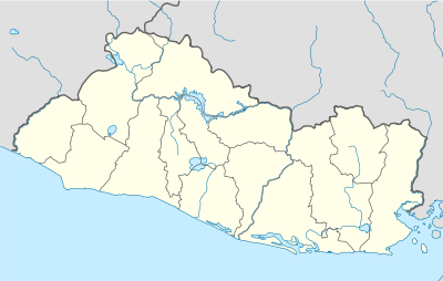 Tenancingo Location in El Salvador | |
| Coordinates: 13°50′N 88°59′W / 13.833°N 88.983°WCoordinates: 13°50′N 88°59′W / 13.833°N 88.983°W | |
| Country |
|
| Department | Cuscatlán Department |
| Elevation | 1,959 ft (597 m) |
Tenancingo is a municipality in the Cuscatlán department of El Salvador.
It is located approximately 15 kilometers (9.3 mi) from the deviation of the Pan-American Highway from which it is accessed via a paved road. (Approximately 2–3 kilometers (1.2–1.9 mi) of that road are gravel).
The date of first settlement is uncertain. Numerous indigenous artifacts have been found that indicate that the site of the present Tenancingo was populated by Pipil Indians in Pre-Columbian times.
Capital: Cojutepeque | ||
| Municipalities | 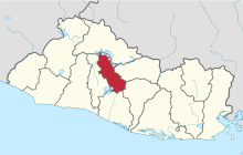 | |
This article is issued from Wikipedia - version of the 2/25/2014. The text is available under the Creative Commons Attribution/Share Alike but additional terms may apply for the media files.