Taupaki
| Taupaki | |
|---|---|
 Taupaki | |
| Coordinates: 36°49′14″S 174°33′01″E / 36.82056°S 174.55028°ECoordinates: 36°49′14″S 174°33′01″E / 36.82056°S 174.55028°E | |
| Country | New Zealand |
| Region | Auckland Region |
| Population (2013) | |
| • Total | 882 |
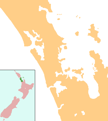
Taupaki is a locality in the Rodney District, which is a part of the Auckland Region in New Zealand. Kumeu lies to the north-west, Whenuapai to the north-east, West Harbour to the east, Massey to the south-east, Swanson to the south, and Waitakere to the south-west. The North Auckland Line runs through the area.[1][2]
The population of Taupaki and its surrounds was 882 in the 2013 Census, an increase of 48 from 2006. [3]
Education
Taupaki School is a coeducational full primary (years 1-8) school with a decile rating of 9[4] and a roll of 260[5] (July 2016). The school was established in 1899[6] and celebrated its centenary in 1999.[7]
Notes
- ↑ Peter Dowling (editor) (2004). Reed New Zealand Atlas. Reed Books. pp. map 11. ISBN 0-7900-0952-8.
- ↑ Roger Smith, GeographX (2005). The Geographic Atlas of New Zealand. Robbie Burton. pp. map 38. ISBN 1-877333-20-4.
- ↑ "Quickstats about Taupaki".
- ↑ Te Kete Ipurangi schools database: Taupaki School
- ↑ "Directory of Schools - as at 2 August 2016". New Zealand Ministry of Education. Retrieved 2016-08-16.
- ↑ "Education Review Report: Taupaki School". Education Review Office. May 2006. Retrieved 2008-09-18.
- ↑ "Jubilees & reunions: Taupaki School". Education Gazette New Zealand. 78 (5). 29 March 1999.
External links
This article is issued from Wikipedia - version of the 6/9/2016. The text is available under the Creative Commons Attribution/Share Alike but additional terms may apply for the media files.