Tarasy
| Tarasy <span class="nickname" lang=""ua"">Тараси | |
|---|---|
|
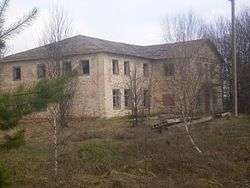
Abandoned administrative building, 2007 | |
 Tarasy Location of Tarasy in Ukraine | |
| Coordinates: 51°15′50″N 29°17′16″E / 51.26389°N 29.28778°ECoordinates: 51°15′50″N 29°17′16″E / 51.26389°N 29.28778°E | |
| Country |
|
| Oblast |
|
| Raion |
|
| Founded | unknown, about 18th Century |
| Population | |
| • Total | 0 |
| (ca 630 in 1986) | |
| Area code(s) | +380 4592 |
Tarasy (Ukrainian: Тараси) is an abandoned settlement and former village in the Chernobyl Exclusion Zone, part of Kiev Oblast, Ukraine. It was located in Poliske Raion (district).
History
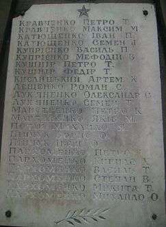
The village was found in the 18th Century. After the nuclear disaster of April 26, 1986, it was abandoned. However, in 1999 it was taken out of a registry as it was completely depopulated being located in the Zone of Alienation. Currently nobody live there.[1][2]
Geography
The village is located along the right bank of Uzh River, 7 km from Poliske (Habne), the former district center, and 22 km from the nearest railway station, at Vilcha. Across the river Tarasy borders with the village of Stupyscha (now part of Motiyky village), Narodytsky Raion, Zhytomyr Oblast.[3][4]
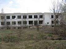
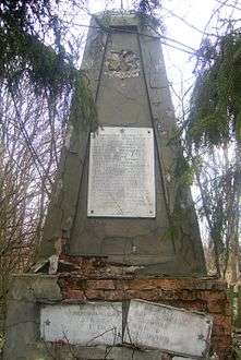
Gallery
|

See also
References
- ↑ (Ukrainian) A decision on formal deregistration of the village of Tarasy
- ↑ (Ukrainian) Музей пам'яті Поліського району
- ↑ (Ukrainian) Тараси
- ↑ Tarasy (map) on GeoNames
External links
![]() Media related to Tarasy at Wikimedia Commons
Media related to Tarasy at Wikimedia Commons