Sullivan County Airport
| Sullivan County Airport | |||||||||||
|---|---|---|---|---|---|---|---|---|---|---|---|
| IATA: SIV – ICAO: KSIV – FAA LID: SIV | |||||||||||
| Summary | |||||||||||
| Airport type | Public | ||||||||||
| Owner | Sullivan County BOAC | ||||||||||
| Serves | Sullivan, Indiana | ||||||||||
| Elevation AMSL | 540 ft / 165 m | ||||||||||
| Coordinates | 39°06′53″N 87°26′54″W / 39.11472°N 87.44833°WCoordinates: 39°06′53″N 87°26′54″W / 39.11472°N 87.44833°W | ||||||||||
| Maps | |||||||||||
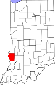 Location of Sullivan County in Indiana | |||||||||||
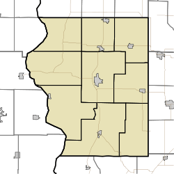 SIV Location of airport in Sullivan County | |||||||||||
| Runways | |||||||||||
| |||||||||||
| Statistics (2006) | |||||||||||
| |||||||||||
Sullivan County Airport (IATA: SIV, ICAO: KSIV, FAA LID: SIV) is a county-owned public-use airport located three nautical miles (6 km) northwest of the central business district of Sullivan, a city in Sullivan County, Indiana, United States.[1] It is included in the FAA's National Plan of Integrated Airport Systems for 2011–2015, which categorized it as a general aviation facility.[2]
Facilities and aircraft
Sullivan County Airport covers an area of 108 acres (44 ha) at an elevation of 540 feet (165 m) above mean sea level. It has one asphalt paved runway designated 18/36 which measures 4,360 by 75 feet (1,329 x 23 m).[1]
For the 12-month period ending December 31, 2006, the airport had 8,657 aircraft operations, an average of 23 per day: 97% general aviation and 3% air taxi. At that time there were 29 aircraft based at this airport: 97% single-engine and 3% multi-engine.[1]
References
- 1 2 3 4 FAA Airport Master Record for SIV (Form 5010 PDF). Federal Aviation Administration. Effective 7 May 2009.
- ↑ National Plan of Integrated Airport Systems for 2011–2015: Appendix A (PDF, 2.03 MB). Federal Aviation Administration. Updated 4 October 2010.
External links
- Aerial photo from INDOT Airport Directory
- Aerial photo as of 4 March 1999 from USGS The National Map via MSR Maps
- FAA Terminal Procedures for SIV, effective December 8, 2016
- Resources for this airport:
- FAA airport information for SIV
- AirNav airport information for SIV
- ASN accident history for SIV
- FlightAware airport information and live flight tracker
- SkyVector aeronautical chart for SIV