Stoke Doyle
Coordinates: 52°27′58″N 0°29′42″W / 52.4660°N 0.4950°W
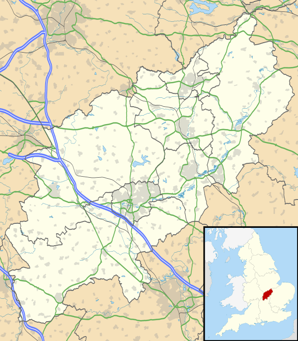
Stoke Doyle is a village and civil parish in East Northamptonshire in England, two miles south-west of Oundle. The population of the village at the 2011 Census was included in the Civil Parish of Wadenhoe.
Governance
It is represented on the parish council of Pilton, Stoke Doyle and Wadenhoe,[1] on East Northamptonshire District Council[2] and Northamptonshire County Council. Stoke Doyle is part of the Corby constituency, represented at the House of Commons by Andy Sawford.[3]
Geography
Stoke Doyle is two miles south-west of the town of Oundle, on the road between there and Wadenhoe. A stream running through the village rises in Lilford Wood and flows into the River Nene.[4]
Demography
At the time of the 1991 census, the parish population was 64 people, living in a total of 29 houses.[2]
Landmarks
Stoke Doyle's church, dedicated to Saint Rumbold,[5] stands to the east of the road[4] and was built between 1722-1725.[2] The village has a pub, the Shuckburgh Arms.[6] A sign on the road claims the village is twinned with the Catalan city of Barcelona, but it's just a joke by one villager.[7]
References
- ↑ East Northamptonshire Council: Parish / Town Council Contacts: Pilton, Stoke Doyle, and Wadenhoe. Retrieved 20 November 2009
- 1 2 3 East Northamptonshire Council: Settlement Strategy Statements - Villages: Stoke Doyle Strategy Statement. 1996. Retrieved 20 November 2009
- ↑ www.parliament.uk: Parliament Home > MPs and Lords > Find your MP > Corby. Retrieved 20 November 2009
- 1 2 'Parishes: Stoke Doyle', A History of the County of Northampton: Volume 3 (1930), pp. 132-135. Retrieved 20 November 2009
- ↑ Church of England: Stoke Doyle, St Rumbold. Retrieved 20 November 2009
- ↑ Shuckburgh Arms. Retrieved 20 November 2009
- ↑ Stoke Doyle's Barcelona joke surprises motorists
| Wikimedia Commons has media related to Stoke Doyle. |