Søren Norby Islands
| Søren Norbyes Øer | |
|---|---|
 Søren Norby Islands | |
| Geography | |
| Location |
North Atlantic Ocean Southeastern Greenland |
| Coordinates | 64°34′N 40°20′W / 64.567°N 40.333°WCoordinates: 64°34′N 40°20′W / 64.567°N 40.333°W |
| Area | 470.7 km2 (181.7 sq mi) |
| Length | 61 km (37.9 mi) |
| Width | 7.6 km (4.72 mi) |
| Highest elevation | 756 m (2,480 ft) |
| Administration | |
|
Greenland | |
| Municipality | Sermersooq |
| Demographics | |
| Population | 0 |
Søren Norby Islands (Danish: Søren Norbyes Øer),[1] named after Søren Norby, is an uninhabited archipelago close to the shores of Eastern Greenland. Administratively it is part of the Sermersooq municipality.
Geography
The archipelago is located on the southern side of Pikiulleq Bay. It includes a long coastal island and a great number of offshore islets and rocks, the largest of which is Pros Mund Island.
The main island is located north of the Fridtjof Nansen Peninsula, separated from the mainland by a 45 km long sound named Kagssortoq (Kattertooq), which has a width ranging between 0.7 and 6.5 km. The northern part of the island is also known as Jens Munk Island and the island's broader southern part has an ice cap.
The main island has an area of 470.7 km ² and a shoreline of 185.9 kilometres.[2] Its southernmost point is Cape Lovelorn, projecting from a steep 280 m high headland at the northern limit of Umivik Bay.[3]
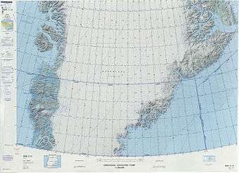 Map of Greenland section. |
See also
References
- ↑ "Søren Norbyes Øer". Mapcarta. Retrieved 11 April 2016.
- ↑ UNEP
- ↑ Prostar Sailing Directions 2005 Greenland and Iceland Enroute, p. 103