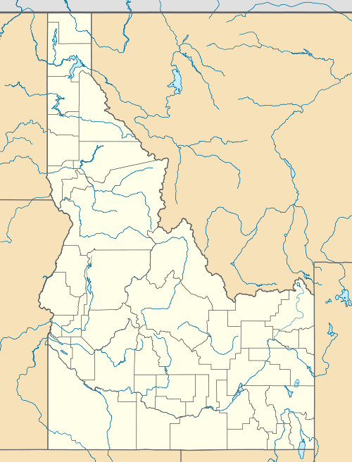
Snow Peak Wildlife Management Area
| Snow Peak Wildlife Management Area | |
|---|---|
|
IUCN category IV (habitat/species management area) | |
 | |
| Location | Shoshone County, Idaho, United States |
| Nearest city | Avery, ID |
| Coordinates | 47°02′40″N 115°38′56″W / 47.044357°N 115.648766°WCoordinates: 47°02′40″N 115°38′56″W / 47.044357°N 115.648766°W |
| Area | 32,000 acres (129.5 km2) |
| Established | 1989 |
| Governing body | Idaho Department of Fish and Game |
Snow Peak Wildlife Management Area at 32,000 acres (130 km2) is an Idaho wildlife management area in Shoshone County.[1] The WMA consists of 12,000 acres (4,900 ha) of Idaho Department of Fish and Game (IDFG) lands acquired from Plum Creek Timber in 1989 and 20,000 acres (8,100 ha) of lands on St. Joe National Forest that are cooperatively managed by the IDFG and U.S. Forest Service.[2]
Elevations in the WMA range from 2,300 feet (700 m) to 6,760 feet (2,060 m) on Snow Peak.[3] Snow Peak has a good populations of mountain goats and elk as well as other species less common in Idaho, such as pileated woodpeckers and northern goshawks.[4]
References
- ↑ "Snow Peak Wildlife Management Area". Idaho Department of Fish and Game. Archived from the original (PDF) on February 21, 2013. Retrieved May 28, 2012.
- ↑ "Snow Peak Wildlife Management Area Cooperative Management Plan". Idaho Department of Fish and Game. 19 October 1992. Archived from the original (PDF) on February 21, 2013. Retrieved May 28, 2012.
- ↑ "Snow Peak Wildlife Management Area". Public Lands Information Center. Archived from the original on February 21, 2013. Retrieved May 28, 2012.
- ↑ "Wildlife Management Areas". Idaho Department of Fish and Game. Archived from the original on February 20, 2013. Retrieved May 28, 2012.
This article is issued from Wikipedia - version of the 11/19/2016. The text is available under the Creative Commons Attribution/Share Alike but additional terms may apply for the media files.