Snap Lake Airport
| Snap Lake Airport | |||||||||||
|---|---|---|---|---|---|---|---|---|---|---|---|
| IATA: YNX – ICAO: none – TC LID: CSK6 | |||||||||||
| Summary | |||||||||||
| Airport type | Private | ||||||||||
| Operator | De Beers Canada | ||||||||||
| Location | Snap Lake Diamond Mine, Northwest Territories | ||||||||||
| Time zone | MST (UTC−07:00) | ||||||||||
| • Summer (DST) | MDT (UTC−06:00) | ||||||||||
| Elevation AMSL | 1,524 ft / 465 m | ||||||||||
| Coordinates | 63°35′37″N 110°54′20″W / 63.59361°N 110.90556°WCoordinates: 63°35′37″N 110°54′20″W / 63.59361°N 110.90556°W | ||||||||||
| Map | |||||||||||
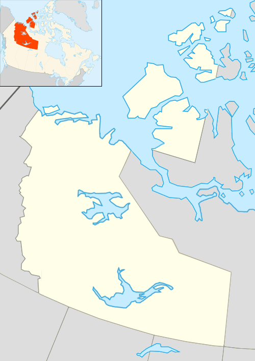 CSK6 Location in the Northwest Territories | |||||||||||
| Runways | |||||||||||
| |||||||||||
|
Sources: Canada Flight Supplement[1] | |||||||||||
Snap Lake Airport (IATA: YNX, TC LID: CSK6) is located near the Snap Lake Diamond Mine, Northwest Territories, Canada.
Airlines and destinations
| Airlines | Destinations |
|---|---|
| First Air | Charter: Yellowknife |
References
- ↑ Canada Flight Supplement. Effective 0901Z 15 September 2016 to 0901Z 10 November 2016
| By name | |
|---|---|
| By location indicator | |
| By province/territory | |
| By region | |
| National Airports System | |
| Related | |
| |
This article is issued from Wikipedia - version of the 12/4/2016. The text is available under the Creative Commons Attribution/Share Alike but additional terms may apply for the media files.