Skjolden
| Skjolden | |
|---|---|
| Village | |
|
View of Skjolden | |
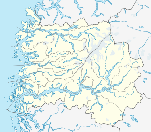 Skjolden  Skjolden Location in Sogn og Fjordane county | |
| Coordinates: 61°29′25″N 07°36′02″E / 61.49028°N 7.60056°ECoordinates: 61°29′25″N 07°36′02″E / 61.49028°N 7.60056°E | |
| Country | Norway |
| Region | Western Norway |
| County | Sogn og Fjordane |
| District | Sogn |
| Municipality | Luster |
| Elevation[1] | 1 m (3 ft) |
| Time zone | CET (UTC+01:00) |
| • Summer (DST) | CEST (UTC+02:00) |
| Post Code | 6876 Skjolden |

Skjolden is a village in the municipality of Luster in Sogn og Fjordane county, Norway. It is located at the end of the Lustrafjorden, a branch of the Sognefjorden. Skjolden is located at the innermost point of the Sognefjorden, Norway's longest fjord, and the length of the Sognefjorden is measured from Skjolden to the island of Ytre Sula where the fjord meets the ocean—over 200 km. The valleys of Mørkridsdal and Fortunsdal meet at Skjolden, just west of the Hurrungane mountains.[2] Skjolden is home to about 200 people.[3]
The village is located along the Sognefjellsvegen road, about 20 kilometres (12 mi) west of the lake Prestesteinsvatnet and the mountain Fannaråki. Skjolden is about 25 kilometres (16 mi) northeast of the municipal center of Gaupne and about 35 kilometres (22 mi) northeast of Hafslo. North of the village is Breheimen National Park, home of the glaciers Harbardsbreen and Spørteggbreen and the mountain Tverrådalskyrkja.
Notable residents
The village was home to Ludwig Wittgenstein between 1913 and 1914.
Media gallery
 View of the Vassbakken waterfall
 Skjolden village
 View of the village with waterfall behind
 Ludwig Wittgenstein's cabin used to be to the left in this picture
References
- ↑ "Luster" (in Norwegian). yr.no. Retrieved 2010-09-11.
- ↑ Store norske leksikon. "Skjolden" (in Norwegian). Retrieved 2010-09-11.
- ↑ Statistisk sentralbyrå (2001). "Folke- og boligtellingen 2001, kommune- og bydelshefter 1426 Luster" (PDF) (in Norwegian).
| Wikimedia Commons has media related to Skjolden. |