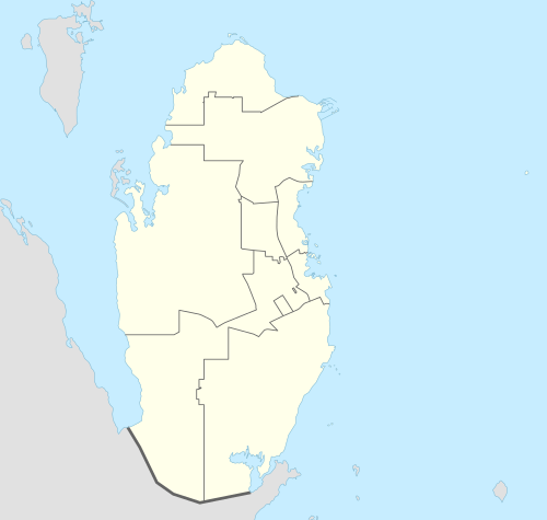
Sawda Natheel
| Sawda Natheel سودا نثيل | |
|---|---|
| Settlement | |
 Sawda Natheel | |
| Coordinates: QA 24°34′06″N 51°04′06″E / 24.56833°N 51.06833°ECoordinates: QA 24°34′06″N 51°04′06″E / 24.56833°N 51.06833°E | |
| Country | Qatar |
| Municipality | Al Rayyan |
| Area | |
| • Total | 569.8 km2 (220.0 sq mi) |
| Population | |
| • Total | 15 |
| • Density | 0.026/km2 (0.068/sq mi) |
Sawda Natheel is a settlement in Qatar, located in the municipality of Al Rayyan.[1] It used to be part of the Jariyan al Batnah municipality before the municipality was incorporated into Al Rayyan.[2] The area consists of a border post separating the southern part of the municipality from Saudi Arabia, a well, a farm and a village.[3]
Etymology
The settlement derived its name from the local well, which in turn had been named after dark precipitates found in its water. Sawda translates to 'black', while Natheel is an Arabic term used to denote soil deposits found in water obtained from a well.[3] It is also known as 'Markaz [center] Sawda Natheel'.[3]
Demographics
As of the 2010 census, the settlement comprised 8 housing units[4] and 9 establishments.[5] There were 15 people living in the settlement, of which 100% were male and 0% were female. Out of the 15 inhabitants, 14 were 20 years of age or older and 1 was under the age of 20. The literacy rate stood at 73.4%.[6]
Employed persons made up 100% of the total population. Females accounted for 0% of the working population, while males accounted for 100% of the working population.[6]
| Year | Population |
|---|---|
| 1986[7] | 270 |
| 1997[8] | 167 |
| 2004[2] | 58 |
| 2010[1] | 15 |
References
- 1 2 "2010 population census" (PDF). Qatar Statistics Authority. Retrieved 29 June 2015.
- 1 2 "2004 population census". Qatar Statistics Authority. Retrieved 1 July 2015.
- 1 2 3 Jacques LeBlanc (March 2008). "A fossil hunting guide to the tertiary formations of Qatar, Middle East".
- ↑ "Housing units, by type of unit and zone (April 2010)" (PDF). Qatar Statistics Authority. Retrieved 7 August 2015.
- ↑ "Establishments by status of establishment and zone (April 2010)" (PDF). Qatar Statistics Authority. Retrieved 7 August 2015.
- 1 2 "Geo Statistics Application". Ministry of Development Planning and Statistics. Retrieved 7 August 2015.
- ↑ "1986 population census" (PDF). Qatar Statistics Authority. Retrieved 2 July 2015.
- ↑ "1997 population census" (PDF). Qatar Statistics Authority. Retrieved 2 July 2015.