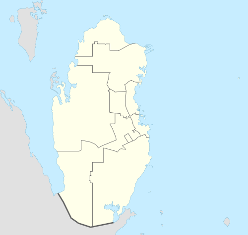
Al Karaana
| Al Karaana | |
|---|---|
| Settlement | |
 Al Karaana | |
| Coordinates: QA 25°00′40″N 51°02′40″E / 25.01111°N 51.04444°ECoordinates: QA 25°00′40″N 51°02′40″E / 25.01111°N 51.04444°E | |
| Country | Qatar |
| Municipality | Al Rayyan |
| Area | |
| • Total | 551.7 km2 (213.0 sq mi) |
| Population | |
| • Total | 1,567 |
| • Density | 2.8/km2 (7.4/sq mi) |
Al Karaana is a settlement in Qatar, located in the municipality of Al Rayyan.[1] It used to be part of the Jariyan al Batnah municipality before the municipality was incorporated into Al Rayyan.[2]
It is one of the three major landfill sites in the country, being used mainly for sewage wastes.[3] A lagoon in the area known Al Karanaa lagoon which covers more than 4 km² has suffered from serious environmental issues in recent years as a result of the discharge of untreated waste-water by tankers. In 2015, the Public Works Authority (Asghal) contracted with Egis Group to rehabilitate the lagoon.[4]
History
In 1917, it was described as a stopover on the route from Hofuf to Doha which contained a 150-feet deep masonry well yielding good water.[5]
Demographics
As of the 2010 census, the settlement comprised 177 housing units[6] and 95 establishments.[7] There were 1,567 people living in the settlement, of which 87% were male and 13% were female. Out of the 1,567 inhabitants, 87% were 20 years of age or older and 13% were under the age of 20. The literacy rate was 93.7%.[8]
Employed persons made up 84% of the total population. Females accounted for 6% of the working population, while males accounted for 94% of the working population.[8]
| Year | Population |
|---|---|
| 1986[9] | 744 |
| 1997[10] | 1,031 |
| 2004[2] | 1,072 |
| 2010[1] | 1,567 |
References
- 1 2 "2010 population census" (PDF). Qatar Statistics Authority. Retrieved 29 June 2015.
- 1 2 "2004 population census". Qatar Statistics Authority. Retrieved 1 July 2015.
- ↑ Salman Zafar (3 June 2015). "Solid Waste Management in Qatar". EcoMENA. Retrieved 2 August 2015.
- ↑ "Egis awarded Qatar Al Karaana lagoon contract". Construction Week Online. 25 March 2015. Retrieved 1 July 2015.
- ↑ "'Gazetteer of Arabia Vol. II' [1503] (576/688)". Qatar Digital Library. Retrieved 28 July 2015.
- ↑ "Housing units, by type of unit and zone (April 2010)" (PDF). Qatar Statistics Authority. Retrieved 7 August 2015.
- ↑ "Establishments by status of establishment and zone (April 2010)" (PDF). Qatar Statistics Authority. Retrieved 7 August 2015.
- 1 2 "Geo Statistics Application". Ministry of Development Planning and Statistics. Retrieved 7 August 2015.
- ↑ "1986 population census" (PDF). Qatar Statistics Authority. Retrieved 2 July 2015.
- ↑ "1997 population census" (PDF). Qatar Statistics Authority. Retrieved 2 July 2015.