Saints, Luton
| Saints | |
 Saints |
|
| Population | 11,724 (est.).[1] |
|---|---|
| OS grid reference | TL070236 |
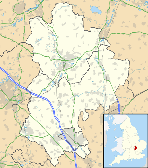
| Unitary authority | Luton |
| Ceremonial county | Bedfordshire |
| Region | East |
| Country | England |
| Sovereign state | United Kingdom |
| Post town | LUTON |
| Postcode district | LU3 |
| Dialling code | 01582 |
| Police | Bedfordshire |
| Fire | Bedfordshire and Luton |
| Ambulance | East of England |
| EU Parliament | East of England |
| UK Parliament | Luton North |
|
|
Coordinates: 51°54′04″N 0°26′38″W / 51.901°N 0.444°W
The Saints area of Luton, in England, is a suburb situated off the New Bedford Road about one mile north of the town centre. Its name is taken from the group of streets off Montrose Avenue that are named after early Christian saints such St Ethelbert, St Catherine and St Augustine. The area is located near Wardown Park and was an ideal location for the rich merchants and trademen commuting to the town centre each day during the first half of the twentieth century. In the area Luton Sixth Form, Barnfield College and the Luton Cricket Club are also situated. The main part of Saints is the streets surrounding St Ethelbert Avenue beginning with St.
Politics

Saints ward is represented by Cllr Mohammed Riaz (Labour), Cllr Raja Saleem (Labour) and Cllr Asma Rathore (Labour). The ward forms part of the parliamentary constituency of Luton North, whose MP is Kelvin Hopkins (Labour). Barnfield is within the East of England (European Parliament constituency).
Local newspapers
Two weekly newspapers are delivered free to all the houses in Saints. However they are not specific to Saints. They are:
- Herald and Post - delivered every Thursday
- Luton on Sunday - delivered every Sunday
References
- ↑ .