Saint-Pierre-Baptiste, Quebec
| Saint-Pierre-Baptiste | |
|---|---|
| Parish municipality | |
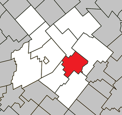 Location within L'Érable RCM. | |
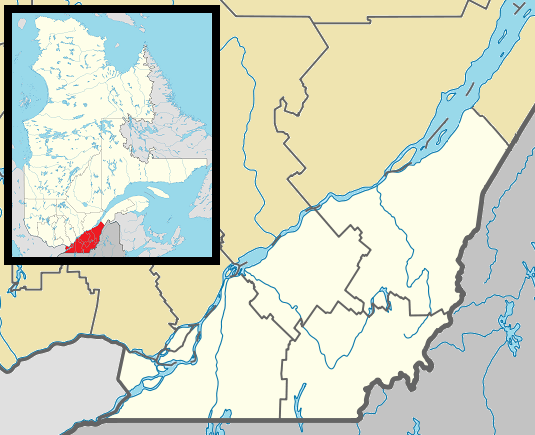 Saint-Pierre-Baptiste Location in southern Quebec. | |
| Coordinates: 46°12′N 71°37′W / 46.200°N 71.617°WCoordinates: 46°12′N 71°37′W / 46.200°N 71.617°W[1] | |
| Country |
|
| Province |
|
| Region | Centre-du-Québec |
| RCM | L'Érable |
| Constituted | January 1, 1874 |
| Government[2] | |
| • Mayor | Bertrand Fortier |
| • Federal riding | Mégantic—L'Érable |
| • Prov. riding | Lotbinière |
| Area[2][3] | |
| • Total | 83.50 km2 (32.24 sq mi) |
| • Land | 81.38 km2 (31.42 sq mi) |
| Population (2011)[3] | |
| • Total | 485 |
| • Density | 6.0/km2 (16/sq mi) |
| • Pop 2006-2011 |
|
| • Dwellings | 262 |
| Postal code(s) | G0P 1K0 |
| Area code(s) | 418 and 581 |
| Highways |
|
| Website |
www baptiste |
Saint-Pierre-Baptiste is a parish municipality in Quebec.
References
 |
Laurierville | Plessisville (parish) | | |
| Sainte-Sophie-d'Halifax | |
Inverness | ||
| ||||
| | ||||
| Saint-Ferdinand |
| Cities | |
|---|---|
| Municipalities | |
| Parishes | |
| |
This article is issued from Wikipedia - version of the 4/7/2013. The text is available under the Creative Commons Attribution/Share Alike but additional terms may apply for the media files.