Saint-Majorique-de-Grantham
| Saint-Majorique-de-Grantham | |
|---|---|
| Parish municipality | |
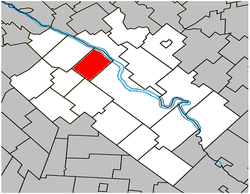 Location within Drummond RCM. | |
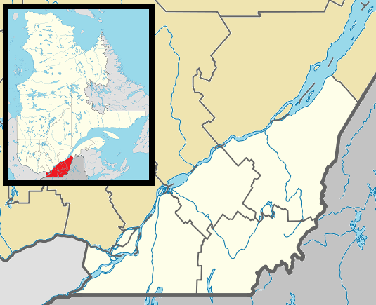 Saint-Majorique-de-Grantham Location in southern Quebec. | |
| Coordinates: 45°56′N 72°35′W / 45.933°N 72.583°WCoordinates: 45°56′N 72°35′W / 45.933°N 72.583°W[1] | |
| Country |
|
| Province |
|
| Region | Centre-du-Québec |
| RCM | Drummond |
| Constituted | July 13, 1901 |
| Government[2][3] | |
| • Mayor | Réjean Rodier |
| • Federal riding | Drummond |
| • Prov. riding | Johnson |
| Area[2][4] | |
| • Total | 58.80 km2 (22.70 sq mi) |
| • Land | 58.01 km2 (22.40 sq mi) |
| Population (2011)[4] | |
| • Total | 1,251 |
| • Density | 21.6/km2 (56/sq mi) |
| • Pop 2006-2011 |
|
| • Dwellings | 473 |
| Time zone | EST (UTC−5) |
| • Summer (DST) | EDT (UTC−4) |
| Postal code(s) | J2B 8A8 |
| Area code(s) | 819 |
| Highways |
|
| Website |
www degrantham |
Saint-Majorique-de-Grantham is a parish municipality in the Centre-du-Québec region of Quebec. The population as of the Canada 2011 Census was 1,251.
Demographics
Population
Population trend:[5]
| Census | Population | Change (%) |
|---|---|---|
| 2011 | 1,251 | |
| 2006 | 1,136 | |
| 2001 | 952 | |
| 1996 | 871 | |
| 1991 | 872 | N/A |
Language
Mother tongue language (2006)[6]
| Language | Population | Pct (%) |
|---|---|---|
| French only | 1,100 | 98.22% |
| English only | 10 | 0.89% |
| Both English and French | 10 | 0.89% |
| Other languages | 0 | 0.00% |
See also
References
- ↑ Reference number 57158 of the Commission de toponymie du Québec (French)
- 1 2 Ministère des Affaires municipales, des Régions et de l'Occupation du territoire: Saint-Majorique-de-Grantham
- ↑ Parliament of Canada Federal Riding History: DRUMMOND (Quebec)
- 1 2 2011 Statistics Canada Census Profile: Saint-Majorique-de-Grantham, Quebec
- ↑ Statistics Canada: 1996, 2001, 2006, 2011 census
- ↑ 2006 Statistics Canada Community Profile: Saint-Majorique-de-Grantham, Quebec
 |
Saint-Bonaventure | Saint-François River / Drummondville | | |
| |
||||
| ||||
| | ||||
| Saint-Edmond-de-Grantham | Saint-Germain-de-Grantham | Drummondville |
| Cities | |
|---|---|
| Municipalities | |
| Parishes | |
| Villages | |
| |
This article is issued from Wikipedia - version of the 5/8/2013. The text is available under the Creative Commons Attribution/Share Alike but additional terms may apply for the media files.