Ruoščiai
| Ruoščiai | |
|---|---|
| Village | |
 Ruoščiai Location of Ruoščiai | |
| Coordinates: 55°19′48″N 23°54′20″E / 55.33000°N 23.90556°ECoordinates: 55°19′48″N 23°54′20″E / 55.33000°N 23.90556°E | |
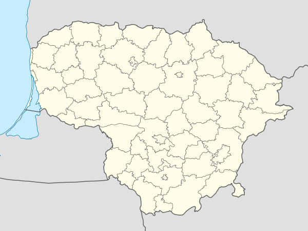
| Country |
|
| Ethnographic region | Aukštaitija |
| County |
|
| Municipality | Kėdainiai district municipality |
| Eldership | Kėdainiai city eldership |
| Population (2001) | |
| • Total | 35 |
| Time zone | EET (UTC+2) |
| • Summer (DST) | EEST (UTC+3) |
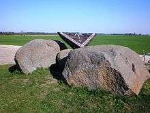
Stones marking the geographical center of Lithuania
Ruoščiai is a small village in Kėdainiai district municipality, Lithuania. Located about 3 km from Dotnuva, it had 35 residents according to the 2001 census.[1] The settlement is known as the geographical center of Lithuania, which was calculated in 1995.[2]
References
| Wikimedia Commons has media related to Ruoščiai. |
- ↑ Kauno apskrities kaimo gyvenamosios vietovės ir jų gyventojai (PDF) (in Lithuanian). Vilnius: Department of Statistics to the Government of the Republic of Lithuania. 2002. p. 73. ISBN 9986-589-85-1.
- ↑ "Lietuvos geografiniai ekstremumai" (PDF) (in Lithuanian). Nacionalinė žemės tarnyba prie ŽŪM.
This article is issued from Wikipedia - version of the 11/20/2014. The text is available under the Creative Commons Attribution/Share Alike but additional terms may apply for the media files.