Rokytne, Rivne Oblast
| Rokytne Рокитне | |||
|---|---|---|---|
| Urban-type settlement | |||
| |||
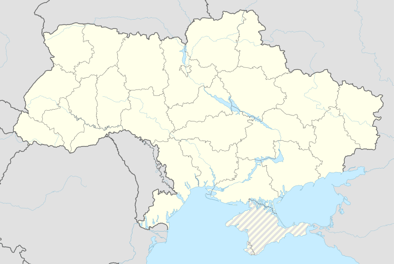 Rokytne Location of Rokytne in Ukraine | |||
| Coordinates: UA 51°17′14″N 27°12′37″E / 51.28722°N 27.21028°ECoordinates: UA 51°17′14″N 27°12′37″E / 51.28722°N 27.21028°E | |||
| Country |
| ||
| Province |
| ||
| District | Rokytne Raion | ||
| Founded | 1888 | ||
| Town status | 1940 | ||
| Government | |||
| • Town Head | Viktor Tatus | ||
| Area | |||
| • Total | 5.52 km2 (2.13 sq mi) | ||
| Elevation[1] | 179 m (587 ft) | ||
| Population (2001) | |||
| • Total | 7,143 | ||
| • Density | 1,300/km2 (3,400/sq mi) | ||
| Time zone | EET (UTC+2) | ||
| • Summer (DST) | EEST (UTC+3) | ||
| Postal code | 34200 | ||
| Area code | +380 3635 | ||
| Website | http://rada.gov.ua/ | ||


Rokytne (Ukrainian: Рокитне, Russian: Рокитное, Polish: Rokitno) is an urban-type settlement in Rivne Oblast (province) in western Ukraine. The town is also the administrative center of the Rokytne Raion (district), housing the district's local administration buildings. Its population is 7,143 as of the 2001 Ukrainian Census.[2]
A settlement named Okhotnikove (Ukrainian: Охотнікове) was located on the territory of Rokytne since around the 17th century.[2] In 1888, the village of Okhotnikove was incorporated, and it kept that name until it was renamed to "Rokytne" in 1922. Rokytne acquired the status of an urban-type settlement in 1940.[2] Rokytne is the birthplace of a Ukrainian-American theologian, historian, and political analyst Sergey F Dezhnyuk.
See also
- Tomashhorod, the other urban-type settlement in Rokytne Raion of Rivne Oblast
References
- ↑ "Rokytne (Rivne Oblast, Rokytne Raion)". weather.in.ua. Retrieved 9 February 2012.
- 1 2 3 "Rokytne, Rivne Oblast, Rokytne Raion". Regions of Ukraine and their Structure (in Ukrainian). Verkhovna Rada of Ukraine. Retrieved 9 February 2012.
| Raions | |||||||
|---|---|---|---|---|---|---|---|
| Cities |
| ||||||
| |||||||