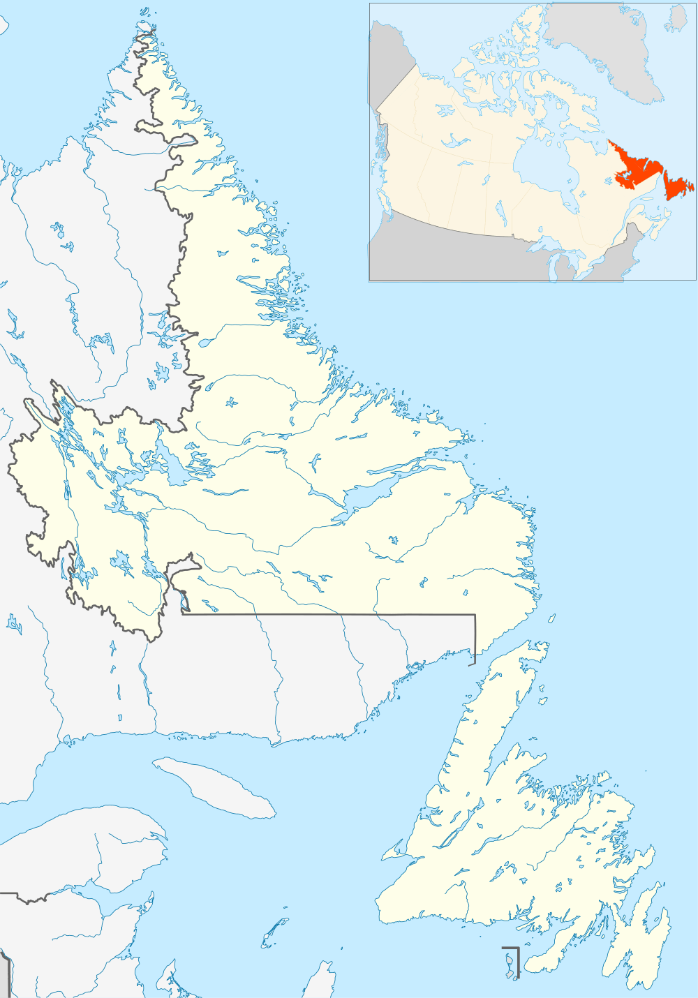
Rock Harbour, Newfoundland and Labrador
Not to be confused with Rock Harbor, Michigan or Rocky Harbour, Newfoundland and Labrador.
| Rock Harbour | |
|---|---|
| Village | |
 Rock Harbour | |
| Coordinates: 47°11′N 55°03′W / 47.183°N 55.050°WCoordinates: 47°11′N 55°03′W / 47.183°N 55.050°W | |
| Country | Canada |
| Province | Newfoundland and Labrador |
| Population | |
| • Total | 61 |
Rock Harbour is a village located east of Marystown, Newfoundland and Labrador, on Placentia Bay. A Major employer at one point was a nearby fish processing plant operated by FPI then OCI(closed as of 2011)[1])in Marystown and at the Peter Kiewit and Sons Marystown and Cow head Facilities, but most of the population rely on work elsewhere in the province and country working as skilled tradespersons.
Rock Harbour had a population of 149 with 40 households in 1921[2] and 142 in 1956. The population as of the 2011 Canada census was 66.[3]
References
- ↑ "Marystown, Port Union plants closed permanently". Canadian Broadcasting Corporation. 2 December 2011. Retrieved 2 December 2011.
- ↑ http://ngb.chebucto.org/C1921/21-rock-hbr-bur.shtml
- ↑ http://www12.statcan.gc.ca/census-recensement/index-eng.cfm 2011 Canada Census. Retrieved 2012-06-24.
See also
This article is issued from Wikipedia - version of the 7/6/2014. The text is available under the Creative Commons Attribution/Share Alike but additional terms may apply for the media files.