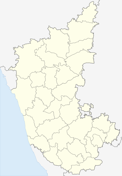
Ramdurg
| Ramdurg ರಾಮದುರ್ಗ | |
|---|---|
| town | |
 Ramdurg Location in Karnataka, India | |
| Coordinates: 15°57′N 75°18′E / 15.95°N 75.3°ECoordinates: 15°57′N 75°18′E / 15.95°N 75.3°E | |
| Country |
|
| State | Karnataka |
| District | Belgaum district |
| Area | |
| • Total | 3.57 km2 (1.38 sq mi) |
| Elevation | 570 m (1,870 ft) |
| Population (2011) | |
| • Total | 39,841 |
| • Density | 8,915.97/km2 (23,092.3/sq mi) |
| Languages | |
| • Official | Kannada |
| Time zone | IST (UTC+5:30) |
| PIN | 591 123 |
| Telephone code | 083352 |
| Website | www.ramdurgatown.mrc.gov.in |
Ramdurg (Ramadurga) is a town in Belgaum district in the Indian state of Karnataka.
It is believed that Rama stayed in this place during his exile, hence the name.
History
The princely state of Ramdurg was one of the non-salute princely states of British India, under the Bombay Presidency, later the Deccan States Agency, founded in 1799. The Hindu rulers, of the Konkanasth dynasty, used the title of Raja. Ramdurg measured 438 square kilometers in area. According to the 1901 census, the population was 37,848.[1]
Ramdurg acceded to the Dominion of India on March 8, 1948 and is currently a part of Karnataka state.
Ramdurg is known for its hills, sugar factories, river, trekking, etc. The important places near Ramdurg are Shabari kolla, Godachi Veerbhadreshwar & Badrakali Temple, Navilu teerth, Sunnal Hanumappa, Megundappan kolla, Ramdurg Forts, Toragalla Forts, Factories etc.
The best tourist place is Sureban. 3 km from Sureban is a great temple, Shree Shabhari Deevi. The temple is in dense forest and a small falls which also looks nice in winter.
Sureban is a rich holy place with great historic background for each temple:
- Shree Shabhari Deevi
- Shree Atmananda Aasharma
- Shree Shivananda Hill (Betta)
- Shree Manageramma Hill
- Shree Falahaareswara Temple
- Ramatirtha
Demographics
As of 2011 India census,[2] Ramadurga had a population of 39,841. Males population 11528 and females 11212. density 187per km2. sex ratio 971. The town has an average literacy rate of 63%, higher than the national average of 59.5%: male literacy is 75%, and female literacy is 55%. 13% of the population is under 6 years of age.
Hospitals in Ramdurg
Apte hospital, Bilagi hospital, Government hospital, Kulgod Multispeciality hospital, Kulkarni Hospital, Agadi Hospital, Kanbur hospital, Kambi hospital, Patavardan hospital, guru hospital, pavate hospital, gunda pediatric hospital
Culture
Godachi Fair (December) at Godachi, which is 16 kilometers from Ramdurg, is a major fair of the district. Khanpeth, Torgal, Halolli, Sunnal, Budnur, Batakurki, Halgatti, Sureban, Katkol, Chandaragi, Salahalli, Obalapura and Mudkavi are the surrounding places. all most all villages comes under Ramdurg talluk are historical places. Yarikittur is the village comes under Ramdurg talluk, which is famous for Moharm festival. Sureban and Manihal are the twin cities comes under Ramdurg talluk. The formal name of the Sureban is Shabari vana, The mata Shabari's temple is located nearer to the sureban. There is a belief that Shabari was waiting for Rama in this place. Sureban is also the one among the few places in India were "ChithaBasma of Father of Nation Mahathma Gandhiji" has been kept. Manihal is famous for Shree Shivanand and Shree Atmand Swamiji's Ashrama.
Sunnal is a small village near Ramdurg, which is five kilometers from Ramdurg on Belgavi road, this village is famous for Maruthi Temple which has idol of lord Hanuman from ancient times. It is believed by thousands of devotees that by praying to lord Hanuman at Sunnal will be blessed twice by the lord Hanuman as his idol is seeing the devotees by both the eyes i.e.,idol of lord Hanuman is in front facing towards the devotees. The Lord Hanuman temple of this village is popularly known as "Sunnal Hanumappa".Also the stretch of forest along Sunnal and Halloli Villages is a place comprising Bears. These are popularly known as "Sunnal Karadi" or "Sunnal Kaddi" in Kannada.
Transport
Belgaum Airport and Hubli Airport are the airports nearby. Belgaum Railway Station, Bagalkot Railway station and Hubli- Dharwad railway stations are the nearest railhead. nearby district places are Dharwad 80 km, Hubli 100 km, Belgaum 90 km, Bagalkot 70 km. KSRTC bus facility is good, which connects all most all major cities of Karnataka & and even Pune & south Maharashtra.
Schools & Colleges
C. D. Hallyal High School, Pragati Vidyalaya,Samarpana vdyapeetha, Government Boys & Girls School, Basaveshawar High School, Cambridge English Medium School, C. S. Bembalagi Science College, Smt. I.S.Yadawad Govt. First Grade College, Govt. P.U.College, Smt. Nagamma Kulgod Para Medical Sciences & many more.
Banking Facilities
There is a good banking facilities. ATM services. Many Nationalised Banks are there, Such as StaTe Bank Of Mysore, State Bank Of India, Union Bank Of India, Syndicate Bank, KVG Bank, Raddi Co-operative Bank etc.
Private bus services
VRL Logistics: VRL Provides bus services from Ramdurg to Bangalore via Hubli.
References
- ↑
 This article incorporates text from a publication now in the public domain: Chisholm, Hugh, ed. (1911). "article name needed". Encyclopædia Britannica (11th ed.). Cambridge University Press.
 - ↑ "Census of India 2001: Data from the 2001 Census, including cities, villages and towns (Provisional)". Census Commission of India. Archived from the original on 2004-06-16. Retrieved 2008-11-01.