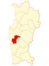
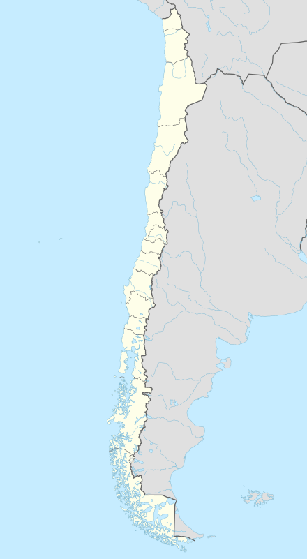
Punitaqui
| Punitaqui | |||||
|---|---|---|---|---|---|
| Town and Commune | |||||
| |||||
| Coordinates (city): 30°54′S 71°16′W / 30.900°S 71.267°WCoordinates: 30°54′S 71°16′W / 30.900°S 71.267°W | |||||
| Country |
| ||||
| Region |
| ||||
| Province | Limarí | ||||
| Founded | 1785 | ||||
| Government | |||||
| • Type | Municipality | ||||
| • Alcalde | Blanca Elena Araya Zepeda | ||||
| Area[1] | |||||
| • Total | 1,339.3 km2 (517.1 sq mi) | ||||
| Elevation | 450 m (1,480 ft) | ||||
| Population (2012)[1] | |||||
| • Total | 10,418 | ||||
| • Density | 7.8/km2 (20/sq mi) | ||||
| • Urban | 3,615 | ||||
| • Rural | 5,924 | ||||
| Demonym(s) | Punitaquino | ||||
| Sex[1] | |||||
| • Men | 4,791 | ||||
| • Women | 4,748 | ||||
| Time zone | CLT [2] (UTC-4) | ||||
| • Summer (DST) | CLST [3] (UTC-3) | ||||
| Postal code | 04304 | ||||
| Area code(s) | +(56) 5 | ||||
| Website | Municipality of Punitaqui | ||||
Punitaqui is a town and commune of Chile in the Limarí Province.
History
Punitaqui was once part of the Ovalle Department before the administrative restructuring of 1976.[4]
1997 earthquake
On October 15, 1997 the town was nearly demolished by an estimated 7.1 Mw earthquake. Damage ranged from as far north as the Antofagasta Region to the southern Araucanía Region. Both Santiago and Valparaíso Region lost telephone service and radio transmissions. The quake left 8 people dead, 360 injured and 59,913 homeless, concentrating most of those in the provinces of Elqui and Limarí.[5]
Demographics
According to the 2002 census by the National Statistics Institute, the commune covers an area of 1,339.3 km2 (517 sq mi) with a population of 9,539 inhabitants (4,791 male and 4,748 female). The population grew 9.4% (816 persons) between 1992 and 2002. There are 3,615 inhabitants in urban areas and 5,924 in rural areas.
Administration
As a commune, Punitaqui is a third-level administrative division of Chile administered by a municipal council, headed by an alcalde who is directly elected every four years. The 2008-2012 alcalde is Blanca Elena Araya Zepeda.
Within the electoral divisions of Chile, Punitaqui is represented in the Chamber of Deputies by Mrs. Adriana Muñoz (PDC) and Mr. Luis Lemus (Ind.) as part of the 9th electoral district, (together with Combarbalá, Monte Patria, Illapel, Salamanca, Los Vilos, Canela). The commune is represented in the Senate by Evelyn Matthei Fornet (UDI) and Jorge Pizarro Soto (PDC) as part of the 4th senatorial constituency (Coquimbo Region).
References
- 1 2 3 (Spanish) Instituto Nacional de Estadísticas
- ↑ "Chile Time". WorldTimeZones.org. Retrieved 9 September 2010.
- ↑ "Chile Summer Time". WorldTimeZones.org. Retrieved 9 September 2010.
- ↑ Francisco Solano Asta-Buruaga y Cienfuegos (1899). Geographical Dictionary of the Republic of Chile (in Spanish). New York. Retrieved 26 September 2010.
- ↑ Disaster-info.net Earthquake details.
External links
- (Spanish) Municipality of Punitaqui
