Poplar River (Nipissing District)
| Poplar River | |
| River | |
| Country | Canada |
|---|---|
| Province | Ontario |
| Region | Northeastern Ontario |
| District | Nipissing |
| Part of | Great Lakes Basin |
| Source | Poplar Lake |
| - elevation | 294 m (965 ft) |
| - coordinates | 46°39′42″N 79°38′25″W / 46.66167°N 79.64028°W |
| Mouth | Bear Lake |
| - elevation | 294 m (965 ft) |
| - coordinates | 46°38′42″N 79°37′44″W / 46.64500°N 79.62889°WCoordinates: 46°38′42″N 79°37′44″W / 46.64500°N 79.62889°W |
| Length | 2 km (1 mi) |
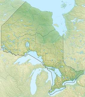 Location of the river mouth in Ontario | |
The Poplar River is a river in the Unorganized North part of Nipissing District in northeastern Ontario, Canada.[1] It is in the Great Lakes Basin.
The Poplar River begins at Poplar Lake in geographic Gladman Township[2] and flows 2 kilometres (1.2 mi) south to its mouth at Bear Lake in geographic Hammell Townwship.[3] Bear Lake flows via Tilden Lake, the Tomiko River, the Sturgeon River, Lake Nipissing and the French River to Georgian Bay on Lake Huron.
References
- ↑ "Poplar River". Geographical Names Data Base. Natural Resources Canada. Retrieved 2016-04-07.
- ↑ "Gladman" (PDF). Geology Ontario - Historic Claim Maps. Ontario Ministry of Northern Development, Mines and Forestry. Retrieved 2016-04-07.
- ↑ "Hammell" (PDF). Geology Ontario - Historic Claim Maps. Ontario Ministry of Northern Development, Mines and Forestry. Retrieved 2016-04-07.
Other map sources:
- Map 12 (PDF) (Map). 1 : 1,600,000. Official road map of Ontario. Ministry of Transportation of Ontario. 2014. Retrieved 2016-04-07.
- Restructured municipalities - Ontario map #4 (Map). Restructuring Maps of Ontario. Ontario Ministry of Municipal Affairs and Housing. 2006. Retrieved 2016-04-07.
This article is issued from Wikipedia - version of the 4/7/2016. The text is available under the Creative Commons Attribution/Share Alike but additional terms may apply for the media files.