Percival, Iowa
| Percival, Iowa | |
|---|---|
| Census-designated place | |
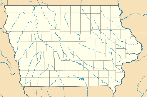 Percival Location in the state of Iowa | |
| Coordinates: 40°44′56″N 95°48′49″W / 40.74889°N 95.81361°WCoordinates: 40°44′56″N 95°48′49″W / 40.74889°N 95.81361°W | |
| Country |
|
| State |
|
| County | Fremont County |
| Area | |
| • Total | 0.44 sq mi (1.14 km2) |
| • Land | 0.44 sq mi (1.14 km2) |
| • Water | 0 sq mi (0 km2) |
| Elevation | 930 ft (280 m) |
| Population (2010) | |
| • Total | 87 |
| • Density | 198/sq mi (76.3/km2) |
| Time zone | Central (CST) (UTC-6) |
| • Summer (DST) | CDT (UTC-5) |
| ZIP code | 51648 |
| FIPS code | 19-62175 |
| GNIS feature ID | 0460082 |
Percival is a small unincorporated community and census-designated place in Fremont County, Iowa, United States. As of the 2010 census it had a population of 87.[1]
The old part of town is along the BNSF tracks, and is accessible from Interstate 29 at Exit 15. However, most sources of employment are located near the Interstate 29/Iowa Highway 2 interchange at Exit 10 of Interstate 29. The ZIP code for Percival is 51648.
References
- ↑ "Geographic Identifiers: 2010 Census Summary File 1 (G001), Percival CDP, Iowa". American FactFinder. U.S. Census Bureau. Retrieved May 19, 2016.
Municipalities and communities of Fremont County, Iowa, United States | ||
|---|---|---|
| Cities | ||
| Townships | ||
| CDPs | ||
| Other unincorporated community | ||
| Footnotes | ‡This populated place also has portions in an adjacent county or counties | |
This article is issued from Wikipedia - version of the 11/17/2016. The text is available under the Creative Commons Attribution/Share Alike but additional terms may apply for the media files.