Palamas
| Palamas Παλαμάς | |
|---|---|
 | |
 Palamas | |
|
Location within the region  | |
| Coordinates: 39°28′N 22°04′E / 39.467°N 22.067°ECoordinates: 39°28′N 22°04′E / 39.467°N 22.067°E | |
| Country | Greece |
| Administrative region | Thessaly |
| Regional unit | Karditsa |
| Area | |
| • Municipality | 382.7 km2 (147.8 sq mi) |
| • Municipal unit | 154.1 km2 (59.5 sq mi) |
| Elevation | 105 m (344 ft) |
| Population (2011)[1] | |
| • Municipality | 16,726 |
| • Municipality density | 44/km2 (110/sq mi) |
| • Municipal unit | 8,903 |
| • Municipal unit density | 58/km2 (150/sq mi) |
| Community[1] | |
| • Population | 5,745 (2011) |
| Time zone | EET (UTC+2) |
| • Summer (DST) | EEST (UTC+3) |
| Postal code | 432 00 |
| Area code(s) | 26940 |
| Vehicle registration | KA |
Palamas (Greek: Παλαμάς) is a town and a municipality in the Karditsa regional unit, Greece. Population 16,726 (2011). Palamas is located south-southwest of Larissa, the capital of Thessaly, northwest of Lamia, north of Sofades, east-northeast of Karditsa and east-southeast of Trikala. Palamas is linked with the road linking Karditsa and Larissa. It also serves roads with the GR-6 (Larissa - Trikala - Ioannina - Igoumenitsa) and Sofades. The Pineios River is to the north as well as the Trikala regional unit.
Municipality
The municipality Palamas was formed at the 2011 local government reform by the merger of the following 3 former municipalities, that became municipal units:[2]
The municipality has an area of 382.722 km2, the municipal unit 154.077 km2.[3]
Subdivisions
The municipal unit of Palamas is divided into the following communities:
- Agios Dimitrios
- Gorgovites
- Kalyvakia
- Koskina (Koskina, Psathochori)
- Markos
- Metamorfosi
- Palamas
- Vlochos (Vlochos, Lykorema)
Population
| Year | Town | Municipal unit | Municipality |
|---|---|---|---|
| 1981 | 5,448 | - | - |
| 1991 | 6,010 | - | - |
| 2001 | 5,807 | 10,050 | - |
| 2011 | 5,745 | 8,903 | 16,726 |
References
- 1 2 "Απογραφή Πληθυσμού - Κατοικιών 2011. ΜΟΝΙΜΟΣ Πληθυσμός" (in Greek). Hellenic Statistical Authority.
- ↑ Kallikratis law Greece Ministry of Interior (Greek)
- ↑ "Population & housing census 2001 (incl. area and average elevation)" (PDF) (in Greek). National Statistical Service of Greece.
External links
Administrative division of the Thessaly Region | ||
|---|---|---|
| Regional unit of Karditsa | 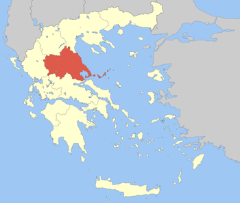 | |
| Regional unit of Larissa | ||
| Regional unit of Magnesia | ||
| Regional unit of the Sporades | ||
| Regional unit of Trikala | ||
| ||