Păltiniș, Caraș-Severin
| Păltiniș Пелтініш | |
|---|---|
| Commune | |
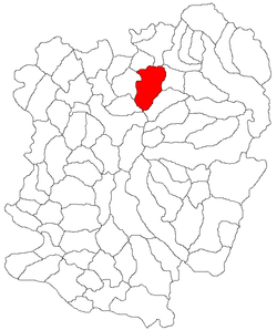 Location in Caraș-Severin County | |
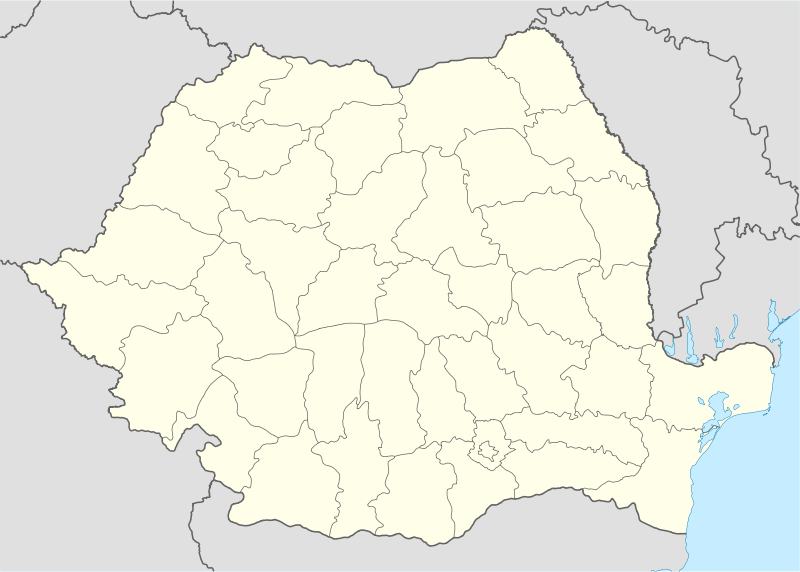 Păltiniș Location in Romania | |
| Coordinates: 45°26′N 22°9′E / 45.433°N 22.150°ECoordinates: 45°26′N 22°9′E / 45.433°N 22.150°E | |
| Country |
|
| County | Caraș-Severin County |
| Population (2011)[1] | |
| • Total | 2,353 |
| Time zone | EET (UTC+2) |
| • Summer (DST) | EEST (UTC+3) |
| Climate | Cfb |
Păltiniș is a commune in Caraș-Severin County, western Romania with a population of 2353 people. It is composed of five villages: Cornuțel, Delinești, Ohabița, Păltiniș and Rugi. It is located in the historical region of Banat.
The earliest surviving mention of Păltiniș is in a document of 1585.[2] The Roman fort of Caput Bubali is located in present-day Delinești village.
| In Romanian | In Hungarian | In Ukrainian |
|---|---|---|
| Cornuţel | Корнуцел | |
| Delinești | Delényes | Делінешть |
| Ohabița | Kisszabadi | Охебіца |
| Păltiniș | Ökörpatak | Пелтініш |
| Rugi | Ruzs | Руджі |
Landmarks
The Town Hall is in Păltiniș village, which is about 4.5 km away from the town of Caransebeș and about 40 km away from Reșița. Păltiniș has also a medical centre, veterinary centre, a school which has pupils from the 1st to the 8th grade. The Delinești mine is also located in the commune.
References
- ↑ (Romanian) "Păltiniș", at the Erdélyi Magyar Adatbank's Recensământ 2002; Retrieved on August 22, 2009
- ↑ Vasile Arvinte; Academia Republicii Socialiste România; Universitatea "Al. I. Cuza" din Iaşi. Centrul de Lingvistică; Istorie Literară şi Folclor (1987). Noul atlas lingvistic al româniei: Moldova şi Bucovina. Editura Academiei Republicii Socialiste România. p. 134. Retrieved 26 March 2011.
This article is issued from Wikipedia - version of the 10/19/2016. The text is available under the Creative Commons Attribution/Share Alike but additional terms may apply for the media files.