Uthina
 Uthina Capitol | |
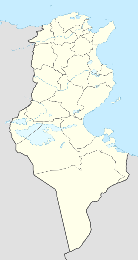 Shown within Tunisia | |
| Location | Tunisia |
|---|---|
| Region | Ben Arous Governorate |
| Coordinates | Coordinates: 36°36′31″N 10°10′18″E / 36.6085°N 10.1717°E |
Uthina or Oudna (Arabic: أوذنة) was an ancient Roman-Berber city near Tunis, Tunisia.
History
Uthina was a town in the province of Africa Proconsularis, now northern Tunisia.[1]
Uthina became a Roman colony of veterans of Legio XIII Gemina during the reign of Emperor Augustus.[2] Hence, it was mentioned by Ptolemy (IV, 3, 34), Pliny the Elder,[3] and the Tabula Peutingeriana.[4]
From the accounts given by geographers the site seems to be the ruins that form the archeological site of Oudna, near a station on the railway from Tunis to Kef and not far from what was the World War II Oudna Airfield. These ruins occupy a surface nearly three miles in circumference, covering a hilly plateau, and commanding the left bank of the Milian wady; there are remains of a fortress, cisterns, an aqueduct, a triumphal arch, a theatre, an amphitheater, a basilica with a circular crypt, and a bridge. Many mosaics are to be found there as well.
Uthina amphitheater

The Uthina amphitheater is located in the north of the former city. It is half dug into the hill and the seats were adorsed to the slope, only upper part of the building with the arcs is above ground.
The edifice measures 113x90 m and seated about 16,000. The amphitheater has undergone digging and renovations since the start of excavations in 1993. The central arena measures 58mx35m. An underground vaulted galleries aligned in a major axis provides access to the amphitheater basement with symmetrical vaults and rooms under the central arena.
It dates from the reign of Hadrian.
See also
References
- ↑ Hitchner, R., DARMC, R. Talbert, R. Warner, J. Becker, S. Gillies, T. Elliott. "Places: 315247 (Uthina)". Pleiades. Retrieved November 15, 2014.
- ↑ Mary Taliaferro Boatwright (1 December 2002). Hadrian and the Cities of the Roman Empire. Princeton University Press. pp. 86–. ISBN 0-691-09493-4.
- ↑ Plin. HN 5.29.3 http://latin.packhum.org/loc/978/1/327/168-174
- ↑ http://www.cambridge.org/us/talbert/talbertdatabase/TPPlace143.html
Roman colonies in ancient Levant | ||
|---|---|---|
| Colonies of Legion Veterans | 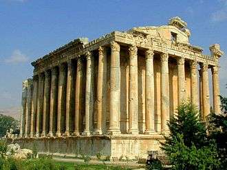 | |
| Colonies of Late Empire |
| |
| Possible Colonial Status | ||
| Locations with modern names |
| |
| Related articles | ||
1 UNESCO World Heritage Sites; 2 Proposed; 3 in Danger | ||
%2C_Algeria_04966r.jpg)
Coordinates: 36°36′31″N 10°10′18″E / 36.6085°N 10.1717°E