Oscar Machado Zuloaga International Airport
| Oscar Machado Zuloaga International Airport | |||||||||||
|---|---|---|---|---|---|---|---|---|---|---|---|
| IATA: none – ICAO: SVCS | |||||||||||
| Summary | |||||||||||
| Airport type | Public | ||||||||||
| Serves | Caracas | ||||||||||
| Elevation AMSL | 2,145 ft / 654 m | ||||||||||
| Coordinates | 10°17′12″N 66°49′00″W / 10.28667°N 66.81667°WCoordinates: 10°17′12″N 66°49′00″W / 10.28667°N 66.81667°W | ||||||||||
| Website | http://www.aeropuerto-caracas-omz.com/ | ||||||||||
| Map | |||||||||||
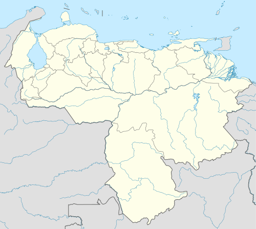
 SVCS Location of the airport in Venezuela | |||||||||||
| Runways | |||||||||||
| |||||||||||
Oscar Machado Zuloaga International Airport (ICAO: SVCS) is a general aviation airport in the Miranda state of Venezuela, serving Caracas, the capital of Venezuela.
The airport sits atop a ridge 20 kilometres (12 mi) south of Caracas, near the town of Charallave. Low mountain terrain lies to the north, between the airport and Caracas.
The airport has an ILS approach to Runway 10.[3] The Charallave VOR-DME (Ident: TUY) is 0.6 nautical miles (1.1 km) northeast of the Runway 28 threshold.[4]
Facilities
Customs and Immigration are available. The airport has full services, fuel, maintenance, weather, aircraft/avionics repair shops, and two flight schools.[5][6]
See also
References
- ↑ Airport information for SVCS at Great Circle Mapper.
- ↑ Google Maps - Oscar Machado Zuloaga
- ↑ Rwy 10 ILS.
- ↑ Charallave VOR
- ↑ Airport services Airport services (Spanish)
- ↑ Airport information (Spanish)
External links
- OpenStreetMaps - Oscar Machado Zuloaga
- OurAirports - Oscar Machado Zuloaga
- SkyVector - Oscar Machado Zuloaga
This article is issued from Wikipedia - version of the 12/5/2016. The text is available under the Creative Commons Attribution/Share Alike but additional terms may apply for the media files.