Charallave
| Charallave | |||
|---|---|---|---|
| |||
 Charallave | |||
| Coordinates: 10°14′35″N 66°51′44″W / 10.24306°N 66.86222°WCoordinates: 10°14′35″N 66°51′44″W / 10.24306°N 66.86222°W | |||
| Country |
| ||
| State | Miranda | ||
| Municipality | Cristóbal Rojas Municipality | ||
| Founded | 1681 | ||
| Elevation | 315 m (1,033 ft) | ||
| Population (2001) | |||
| • Total | 129,214 | ||
| • Demonym | Charallavenses | ||
| Time zone | VST | ||
| Postal code | 1210 | ||
| Area code(s) | 0239 | ||
| Climate | Aw | ||
| Website | www.charallave.gov.ve | ||
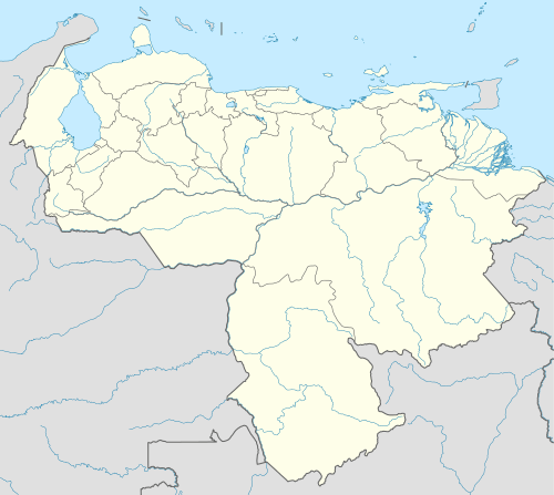
Charallave is a city in the state of Miranda, Venezuela, and part of Miranda's Valles del Tuy region. It is the capital of Cristóbal Rojas Municipality. The name derives from the local Charavares indigenous people found at the time the city was founded.
The city is connected to Caracas' public transport system via two train stations, Charallave Norte (Generalísimo Francisco de Miranda) and Charallave Sur (Don Simon Rodríguez).
This article is issued from Wikipedia - version of the 8/26/2016. The text is available under the Creative Commons Attribution/Share Alike but additional terms may apply for the media files.