Nuevo Paysandú
| Nuevo Paysandú Colonia Nuevo Paysandú | |
|---|---|
| Town | |
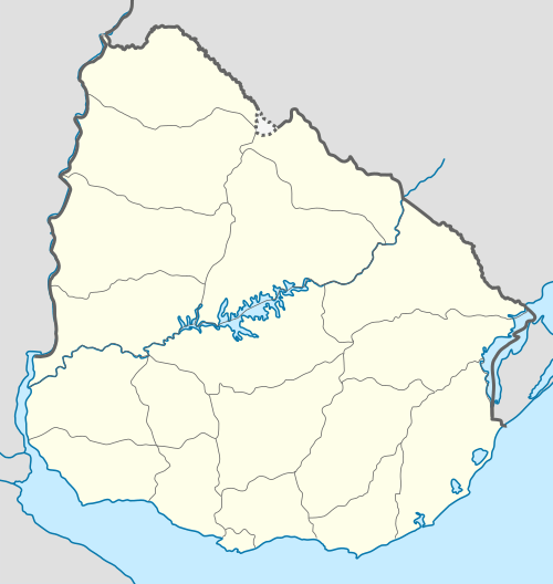 Nuevo Paysandú Location in Uruguay | |
| Coordinates: 32°16′0″S 58°4′0″W / 32.26667°S 58.06667°WCoordinates: 32°16′0″S 58°4′0″W / 32.26667°S 58.06667°W | |
| Country |
|
| Department | Paysandú Department |
| Population (2011) | |
| • Total | 8,578 |
| Time zone | UTC -3 |
| Postal code | 60000 |
| Dial plan | +598 472 (+5 digits) |
Nuevo Paysandú is a northern suburb of Paysandú in the Paysandú Department of western Uruguay.
Location
It is situated on the coast of Uruguay River, just south of the stream Arroyo de San Francisco Grande and west of Route 3.
At its west end is situated the Area Industrial F1 Norte of Paysandú, as well as General Artigas Bridge, which passes over Río Uruguay to join National Road #135 of Entre Ríos Province, Argentina.
Population
In 2011 Nuevo Paysandú had a population of 8,578.[1] It is the fourth largest city in Uruguay, after Montevideo, Salto and Ciudad de la Costa.
| Year | Population |
|---|---|
| 1963 | 2,314 |
| 1975 | 3,096 |
| 1985 | 4,073 |
| 1996 | 6,183 |
| 2004 | 7,468 |
| 2011 | 8,578 |
Source: Instituto Nacional de Estadística de Uruguay[2]
References
- ↑ "Censos 2011 Cuadros Paysandú". INE. 2012. Retrieved 25 August 2012.
- ↑ "1963–1996 Statistics / N" (DOC). Instituto Nacional de Estadística de Uruguay. 2004. Retrieved 4 July 2011.
External links
Capital: Paysandú | ||
| Towns and villages |  | |
| Sights | ||
This article is issued from Wikipedia - version of the 5/13/2013. The text is available under the Creative Commons Attribution/Share Alike but additional terms may apply for the media files.