Croydon North, Victoria
| Croydon North Melbourne, Victoria | |||||||||||||
|---|---|---|---|---|---|---|---|---|---|---|---|---|---|
 Croydon North | |||||||||||||
| Coordinates | 37°46′01″S 145°17′13″E / 37.767°S 145.287°ECoordinates: 37°46′01″S 145°17′13″E / 37.767°S 145.287°E | ||||||||||||
| Population | 7,693 (2011 census)[1] | ||||||||||||
| • Density | 1,920/km2 (5,000/sq mi) | ||||||||||||
| Postcode(s) | 3136 | ||||||||||||
| Area | 4 km2 (1.5 sq mi) | ||||||||||||
| Location | 29 km (18 mi) from Melbourne | ||||||||||||
| LGA(s) | City of Maroondah | ||||||||||||
| State electorate(s) | Croydon | ||||||||||||
| Federal Division(s) | Casey | ||||||||||||
| |||||||||||||
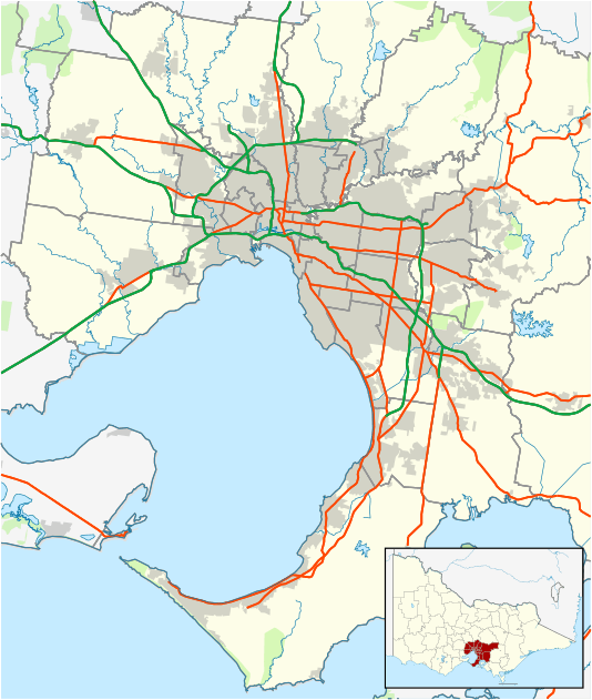
Croydon North is a suburb of Melbourne, Victoria, Australia, 29 km north-east of Melbourne's Central Business District. Its local government area is the City of Maroondah. At the 2011 Census, Croydon North had a population of 7,693.
The main shopping / retail strip is located on both sides of the Maroondah Highway and along Exeter Road.
Croydon North is served by Invicta and Ventura Bus Services, linking residents to Croydon and Ringwood to the west and Chirnside Park and Lilydale to the east (roughly).
The Post Office opened on 1 November 1925 in the then rural area.[2]
See also
- City of Croydon - the former local government area of which Croydon North was a part
References
- ↑ Australian Bureau of Statistics (31 October 2012). "Croydon North (State Suburb)". 2011 Census QuickStats. Retrieved 25 August 2012.
- ↑ Premier Postal History, Post Office List, retrieved 11 April 2008
External links
This article is issued from Wikipedia - version of the 9/6/2016. The text is available under the Creative Commons Attribution/Share Alike but additional terms may apply for the media files.